
What is recorded here
A curvilinear enclosure (diam. c. 55m), defined by a wide fosse (Wth c. 4m) which is visible as a cropmark on satellite imagery (Google Earth, imagery date 10 August 2022), identified and reported by Jean-Charles Caillère. There is a possible entrance (Wth c. 4m) in the SE sector. A field boundary runs NE-SW across the NW sector of the enclosure. There is an enclosure (KK014-054----) c. 40m to the SW, another (KK014-053001-) c. 120m to the WSW and another (KK014-053002-) c. 160m to the W.
See attached imagery:
KK014-157----_01 Google Earth, imagery date 10 August 2022
Compiled by: Jean Farrelly
Date of upload: 27 June 2023
The monument record does not grant public access. Check the route and ask the landowner before entering private land.
- What survives
- Recorded monument
Places near here
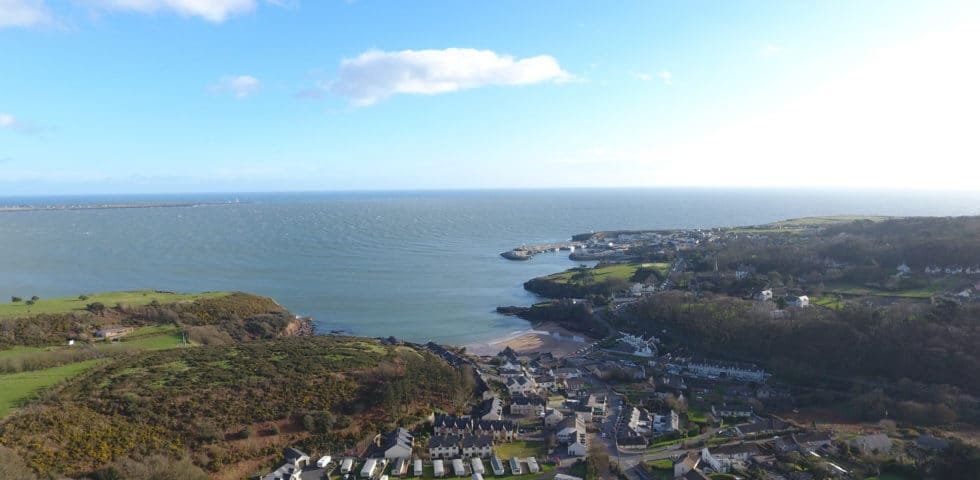 Enclosure in Dunmore WestEnclosure · 210 yd
 Not inidcatedEnclosure · 263 yd
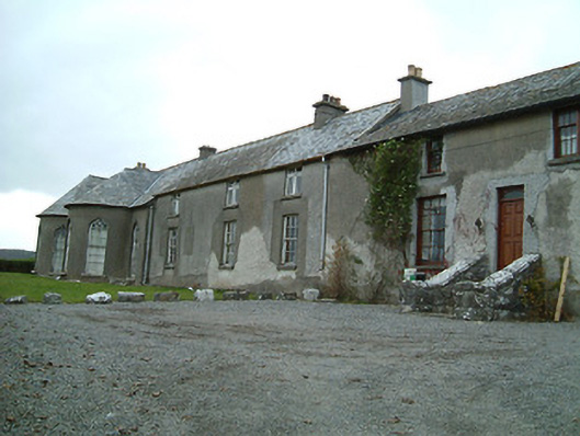 Dunmore Cottagehouse · 870 yd
 Castle (in ruins)Castle, unclassified · 1379 yd
 Rock WoodWood · 1703 yd
 bridgebridge · 1.0 mi
 The RockCastle, ringwork · 1.0 mi
 Long WoodWood · 1.1 mi
 Trinity WellSpring · 1.9 mi
 Graveyard in ThreecastlesGraveyard · 2.0 mi
 Lady DesartMemorial · 2.0 mi
 WelcomeVisitor information · 4.0 mi
Other information
Photo: Credit not shown in the picture search · Rights wording not checked; contact us if this picture should be removed