What is recorded here
In the heart of a large graveyard, a low grassy mound still marks the vanished church, its rectangle buried beneath soil and modern headstones. The site sits beside a holy well and a possible early enclosure, suggesting a place where prayer and death intertwined for generations. What remains is not stone but memory: a flattened shadow of worship, waiting to be imagined rather than seen.
At the centre of a large graveyard (KD018-019003-) which also contains a holy well (KD018-019002-), and a possible early ecclesiastical enclosure (KD018-019004-). Shown on the 1st ed. (1838) of the OS 6-inch map as a rectangular structure orientated NE-SW (est. dims. L c. 20m; Wth c. 8m) but indicated 'Site of', i.e. as no longer extant, on the latest ed. (1910) of the map. The site is marked by a low, grass-covered, rectangular mound (dims. L 13m E-W; Wth 5m; H 0.8-1m) upon which modern headstones have been erected.
Compiled by: Gearóid Conroy
Date of upload: 10 June 2011
The monument record does not grant public access. Check the route and ask the landowner before entering private land.
- What survives
- Recorded monument
Places near here
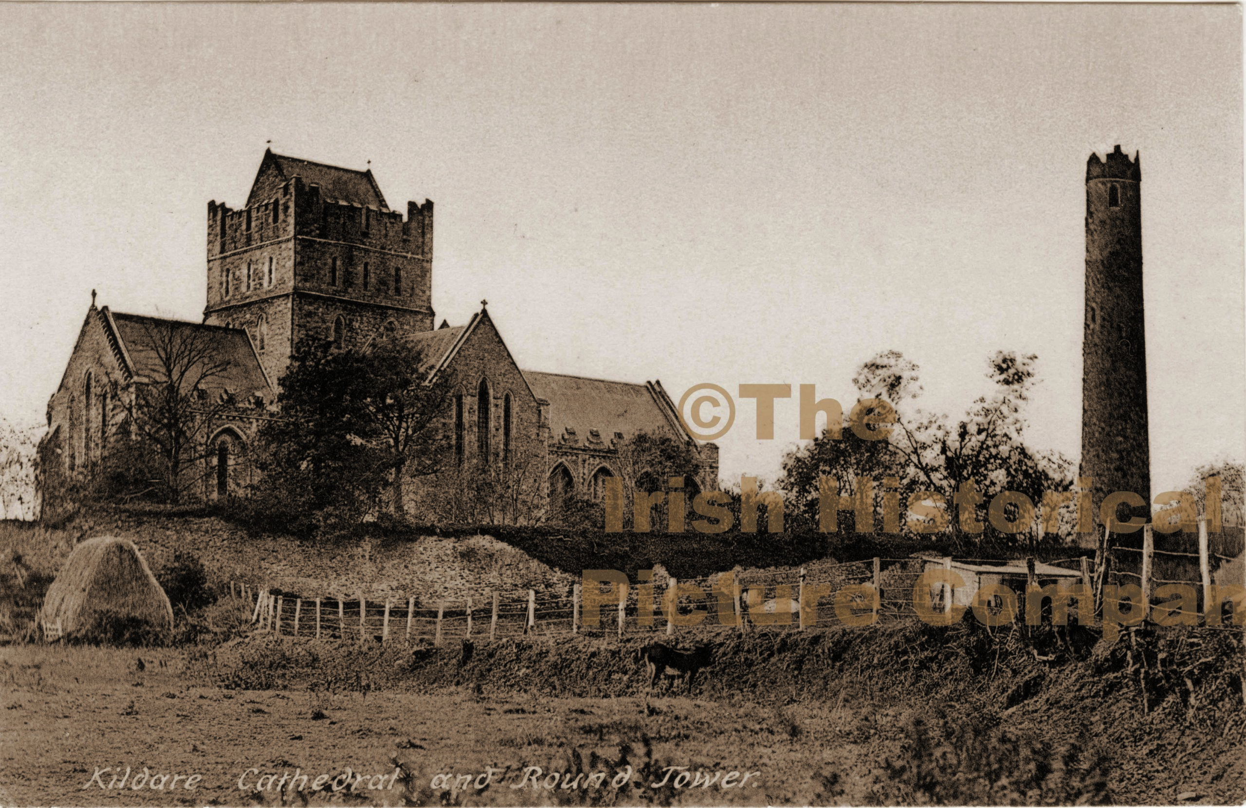 Ecclesiastical enclosure in Barrettstown (oldconnell Ed)Ecclesiastical enclosure · 13 yd
 IndicatedHoly well · 57 yd
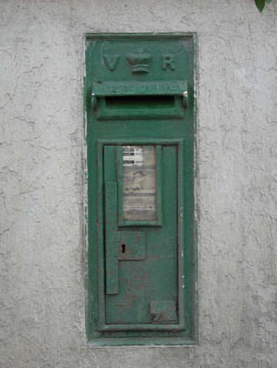 post boxpost box · 1148 yd
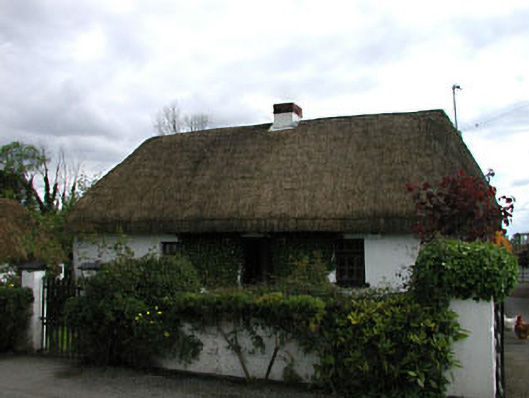 farm housefarm house · 1698 yd
 Sarsfield Castle (Site of)Castle, unclassified · 2.3 mi
 TumulusCastle, motte and bailey · 2.3 mi
 Newbridge SilverwareMuseum · 3.2 mi
 Pollardstown Fen Nature ReserveNature reserve · 4.2 mi
 Grand Canal WayVisitor information · 4.3 mi
 Monread District Park WoodsWood · 4.4 mi
 Hill of AllenMountain / peak · 4.5 mi
 Councillor Jim MileyMemorial · 9.8 mi