What is recorded here
On a hillock in undulating pastureland at the NE end of Tynagh village. Named 'Church' in Roman script on the 1838 edition of the OS 6-inch map and shown as a roofed rectangular building. On the OS 1:2500 plan (surveyed 1912-16) it is named 'Church (Remains of)' and only its outline (c. 17m E-W; c. 9m N-S) is depicted by a broken line. No visible surface trace of it survives; a large wooden crucifix marks its site.
Compiled by: Olive Alcock
Date of upload: 7 April 2020
The monument record does not grant public access. Check the route and ask the landowner before entering private land.
- What survives
- Recorded monument
Places near here
 Church in TynaghChurch · 537 yd
 Site of ToberelleenHoly well · 1351 yd
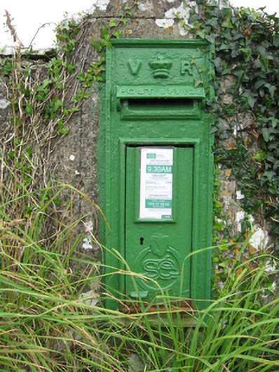 post boxpost box · 1514 yd
 Quarryhill WoodWood · 1758 yd
 ‘Tobernaglora’Holy well · 1.0 mi
 Knockaunnageeragh Castle in ruinsCastle, unclassified · 1.1 mi
 Bog WoodForest · 1.5 mi
 Pallas CastleCastle, tower house · 1.7 mi
 Church HillMountain / peak · 4.8 mi
 Stonyisland BayBay · 6.0 mi
 TullymoreMountain / peak · 9.9 mi
 The bloody HollowHeritage attraction · 10 mi