
What is recorded here
From the National Monuments Service (Archaeological Survey of Ireland) record LI052-012
Places near here
Photo credits
- National Inventory of Architectural Heritage
- Kmcnamee, Wikimedia Commons · CC BY-SA 4.0
- David Dixon, Geograph · Creative Commons Attribution-ShareAlike 2.0
- Maker not stated on source page, www.alamy.com
- Maker not stated on source page, commons.wikimedia.org
- Maker not stated on source page, www.gettyimages.ca
- Maker not stated on source page, www.flickr.com
- Jonathan Thacker, Geograph · CC BY-SA 2.0
 Saint Patrick's Catholic ChurchChurch/chapel · 1509 yd
Explorer Tom Saint Patrick's Catholic Church would win a county fair by showing off its mosaic tiled plaque and finely dressed…
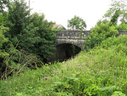 Toor BridgeBridge · 1.1 mi
Explorer Tom Toor Bridge holds a long grudge against the weather for making it look so damp and moody. It spans a deep gully and…
 Tournafulla GAA pitchGAA ground · 1.1 mi
 water pump1.1 mi
Explorer Tom Water pump in Gortnaskehy is having a serious drama with the nearest tree because it thinks the tree is stealing all…
 Goulburn BridgeBridge · 3.7 mi
Explorer Tom Goulburn Bridge over the Allaghaun River is the result of a massive family feud about who owned the view. It’s got that…
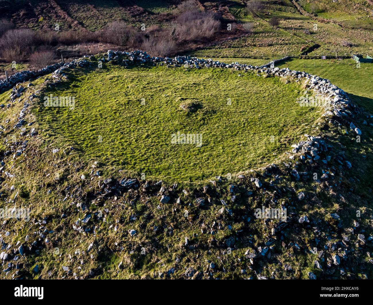 Fairy fort / earthen ringfort in Clooncon (glenquin By., Cleanglass Ed)Fairy fort / earthen ringfort · 4.2 mi
Explorer Tom Fairy fort / earthen ringfort in Clooncon is covered in so much briar that the wind keeps picking on it for being…
Rockchapel GAA pitchGAA ground · 4.3 mi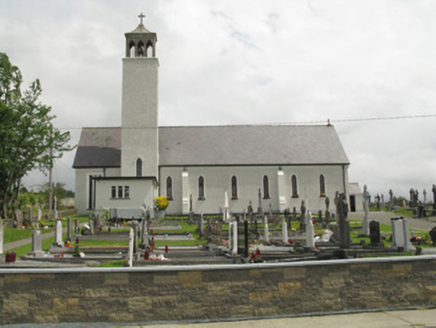 Catholic Church of Our Lady of the AssumptionChurch/chapel · 4.3 mi
Explorer Tom Our Lady of the Assumption is waiting for someone to recite the bad poem about its buttresses they wrote in 1950. The…
 St Peters Catholic ChurchChurch · 4.4 mi
Explorer Tom St Peters Catholic Church looks like a T-shirt because of the shape, which is either genius or an accident. It’s got…
 Mapped cemeteryCemetery · 4.6 mi
Explorer Tom Mapped cemetery in County Limerick ended up in the wrong place because the surveyor took too long on his lunch break…
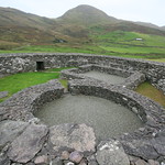 Enclosure in Brosna EastEnclosure · 4.6 mi
Explorer Tom Enclosure in Brosna East would survive a zombie attack by simply standing still and hoping they walk right through it.…
 Three CountiesPicnic place · 4.8 mi
Explorer Tom Three Counties in County Cork is a picnic spot right on the border of Limerick and Kerry, so you can eat a sandwich…
More historic places in County Limerick · All of County Limerick

What do you know about this place?Tap to add a comment or ask a question