
What is recorded here
The placename 'Killishal', is indicated in the centre of the townland of Killard on the 1842 OS 6-inch map and in its NW quadrant on the 1937 OS 6-inch map. O'Donoghue (1986, 217) noted that 'Killishal - Cill Iseal (low church), which was at one time a townland, is at the north-east [sic]' of the townland of Killard. According to local information, the site of the church of Killishal is in the townland of Shean Lower, to the N of Gothic Bridge in an area that is indicated as tree covered on the 1842 OS 6-inch map. There are no visible remains of this possible church.
The above description is derived from 'The Archaeological Inventory of County Cork. Volume 5' (Dublin: Stationery Office, 2009).
Date of upload: 22 December 2009
A local church or high cross; wider significance not recorded.
This remains an important historical record, but the official description says the monument is no longer visible or has been destroyed. The monument record does not grant public access. Check the route and ask the landowner before entering private land.
- What survives
- No visible remains or recorded as destroyed
Places near here
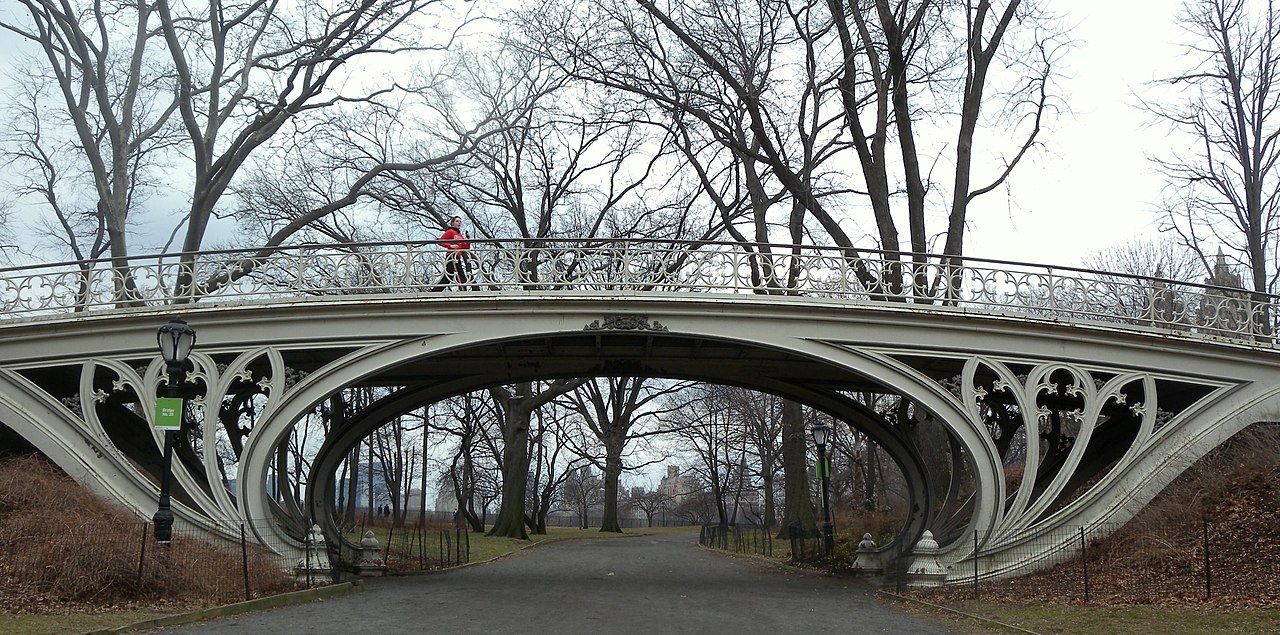 Gothic BridgeBridge · 95 yd
 KilnKiln, lime · 315 yd
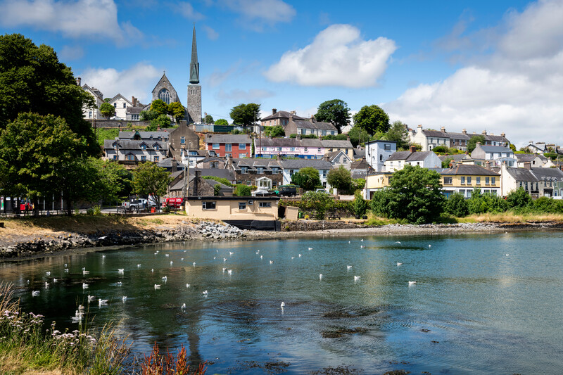 Welcome to KillardVisitor information · 583 yd
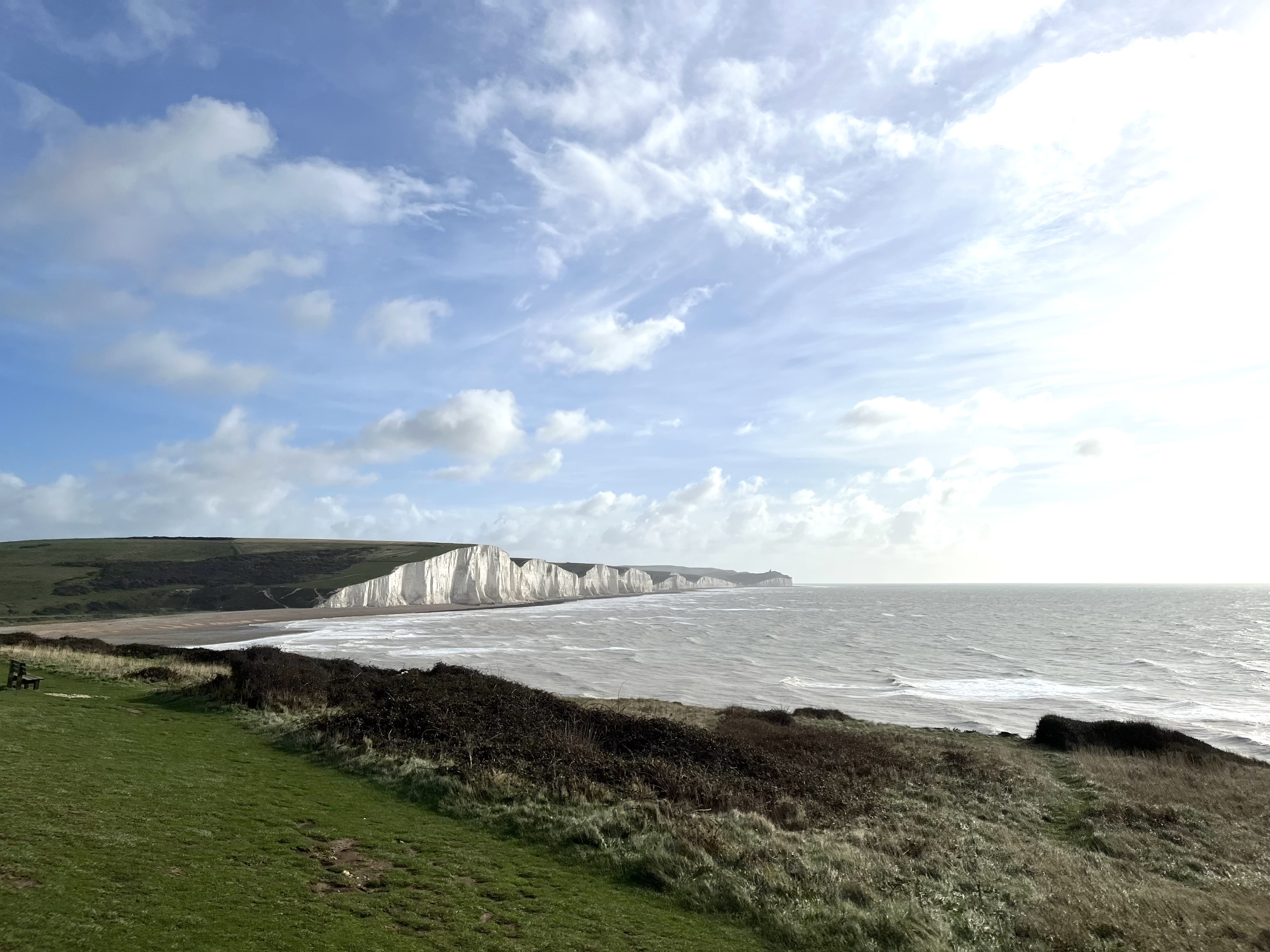 The Seven SistersHeritage attraction · 635 yd
 The Rock CloseHeritage attraction · 640 yd
 European YewEuropean Yew · 700 yd
 European BeechEuropean Beech · 813 yd
 Icehouse in BlarneyIcehouse · 864 yd
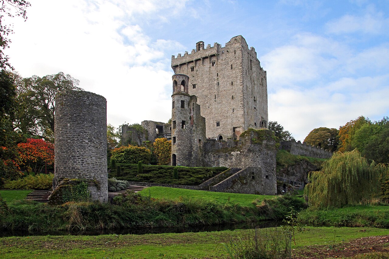 Blarney Castle (in Ruins)Castle, tower house · 892 yd
 Badgers CaveCave · 938 yd
 Clogheenmilcon FenVisitor information · 1149 yd
 Lion RockNamed rock · 1437 yd
Other information
Photo: Credit not shown in the picture search · Rights wording not checked; contact us if this picture should be removed