What is recorded here
Located in the valley of a NE-SW stream, which is c. 30m S of the graveyard. This is the parish church of a detached portion of Taghmon parish, although it is returned with Coolstuff parish in the Civil Survey (1654-6) (Simington 1953, 97-100). It is within a circular graveyard (diam. 38m N-S; 36m E-W) defined by a stone clad earthen bank (Wth 0.8-1.1m), with traces of a fosse and outer bank N-E. The church is visible as the grass covered foundations (H 0.5-1m) of an E-W building (ext. dims 10.55m E-W; 4.9m N-S; int. dims 7.85m E-W; 3.25m N-S) with an entrance gap (Wth 1.3m) towards the W end of the S wall. The N wall is extended to the W (total L 13.25m) indicating a possible second cell or house. Trinity Well is c. 20m E of the graveyard enclosure.
The above description is derived from the published 'Archaeological Inventory of County Wexford' (Dublin: Stationery Office, 1996). In certain instances the entries have been revised and updated in the light of recent research.
Compiled by: Michael Moore
Date of upload/revision: 21 March, 2013
The monument record does not grant public access. Check the route and ask the landowner before entering private land.
- What survives
- Recorded monument
Places near here
 graveyard/cemeterygraveyard/cemetery · 6 yd
 Trinity WellHoly well · 44 yd
 RoadRoad, hollow-way · 428 yd
 Site of CastleCastle, unclassified · 446 yd
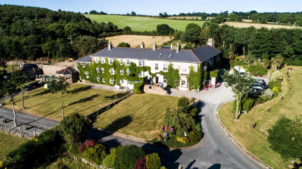 Bawn in Durra BigBawn · 1423 yd
 Carrickatinna RockMountain / peak · 1687 yd
 Skeater RockMountain / peak · 1.3 mi
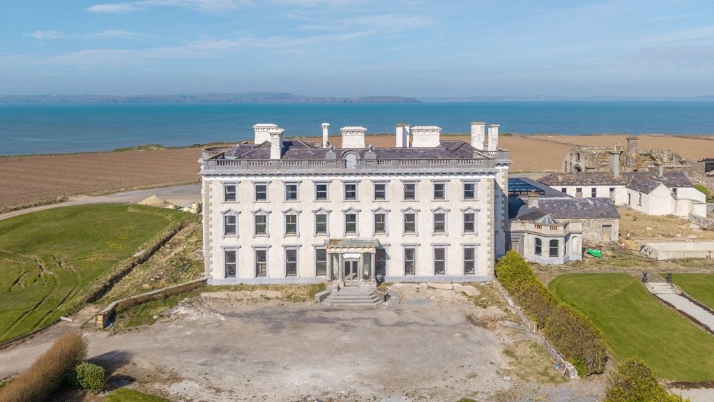 Enclosure in AughfadEnclosure · 1.6 mi
 Dawn RedwoodDawn Redwood · 4.1 mi
 Japanese cedarJapanese cedar · 4.2 mi
 Coolcliffe HouseRuins · 5.5 mi
 Carrig-On-BannowVisitor information · 6.6 mi