
What is recorded here
Situated on level ground at the SW base of Forth Mountain. Immediately to the W of the castle (WX041-027----) is a N-S sunken track or fosse (L 150m; Wth 4-8m). There was exposed stonework visible at the N end of this feature in 1988. All the features have eroded further through ploughing.
Compiled by: Michael Moore
Date of upload: 19 March, 2013
The monument record does not grant public access. Check the route and ask the landowner before entering private land.
- What survives
- Recorded monument
Places near here
 Site of CastleCastle, unclassified · 31 yd
 Trinity WellHoly well · 388 yd
 graveyard/cemeterygraveyard/cemetery · 424 yd
 Catholic Church of the Holy Trinitychurch/chapel · 897 yd
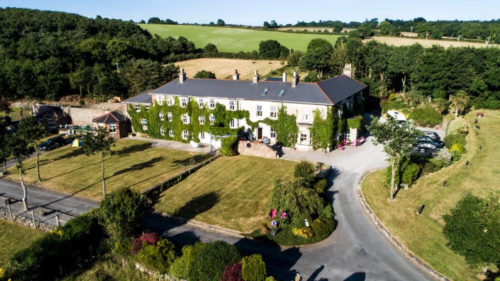 Bawn in Durra BigBawn · 1236 yd
 Carrickatinna RockMountain / peak · 1262 yd
 Skeater RockMountain / peak · 1.0 mi
 St. Mannans WellHoly well · 1.5 mi
 Dawn RedwoodDawn Redwood · 3.8 mi
 Japanese cedarJapanese cedar · 4.0 mi
 Coolcliffe HouseRuins · 5.7 mi
 Carrig-On-BannowVisitor information · 6.8 mi
Other information
Photo: Credit not shown in the picture search · Rights wording not checked; contact us if this picture should be removed