
What is recorded here
On the crest towards the SE end of a low NW-SE ridge. St Caolainn traced her ancestry to the Ciarraighe of Kerry, a subject people in Connaught who had settled around Castlerea. She gouged out her eyes rather than be admired for them (Anon 1980; Ó Rian 2011, 151-2). This may be the location of St Caolainn’s church and it is connected to the convent at Moor (RO020-043003-) c. 1.2 km to the N by a road (RO020-044----). Only a fragment of the E gable (L 3.2m; T 0.95m; H 4.1m) with the N side of a simple light (H 0.5m) survives together with an adjacent piece of the grass-covered S wall (L 2.9m; H 0.5m). There is no graveyard or enclosure. (Timoney 1990, 15)
Compiled by: Michael Moore
Date of revised upload: 9 April 2018
A local church or high cross; wider significance not recorded.
The monument record does not grant public access. Check the route and ask the landowner before entering private land.
- What survives
- Recorded monument
Places near here
 IndicatedEnclosure · 815 yd
 Silver IslandIslet · 948 yd
 NunneryReligious house, Augustinian, of Arrouaise nuns · 1276 yd
 Tober CaelainnHoly well · 1506 yd
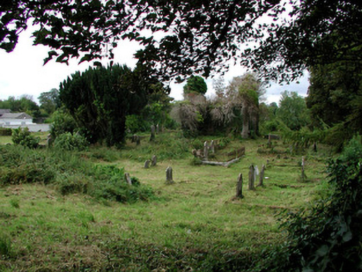 graveyard/cemeterygraveyard/cemetery · 1550 yd
 Workhouse MemorialMemorial · 1632 yd
 Castlereagh HouseCastle, unclassified · 1678 yd
 Clonalis HouseMuseum · 2.2 mi
 CastleCastle, Anglo-Norman masonry castle · 4.0 mi
 Coolougher WoodForest · 4.0 mi
 Druminagh WoodForest · 4.8 mi
 Fairymount HillMountain / peak · 5.0 mi
Other information
Photo: Credit not shown in the picture search · Rights wording not checked; contact us if this picture should be removed