What is recorded here
Located on elevated ground, densely covered in graves, in a graveyard (MA009-007002-).
This is the approximate location of a church, which is indicated on the 1838 and 1921 OS 6-inch maps as 'Church' and 'Church (in Ruins)', respectively, and which according to tradition stood at the highest point of the graveyard. There are now no visible remains of the church, but remnants were still visible in the late 19th century, when Westropp (1912, 211-212) noted that ‘Parts of the half-levelled north wall of the church, 3 feet to 5 feet high, remain on a sandy hillock; some blocks of a late fifteenth-century window, with an ogee head [MA009-007003-] and fragments of two (or three) stoups, or basins [MA009-007004-], lie among the graves.’
Compiled by: Jane O'Shaughnessy
Date of upload: 12 September 2017
The monument record does not grant public access. Check the route and ask the landowner before entering private land.
- What survives
- Recorded monument
Places near here
 Celtic CrossCross · 27 yd
 Bawn in Tearmann CaithreachBawn · 469 yd
 Burkes Castle (Site of)Castle, unclassified · 1163 yd
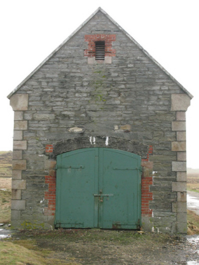 store/warehousestore/warehouse · 1267 yd
 Enclosure in Tearmann CaithreachEnclosure · 1447 yd
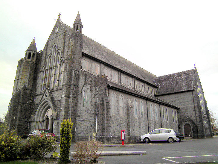 Church in An Más,tóin An MhásaChurch · 1758 yd
 Dún na mBó BlowholeHeritage attraction · 1.3 mi
 Ceann an EanaighHeadland · 1.8 mi
 Trá Bhéal DoireBeach / strand · 2.5 mi
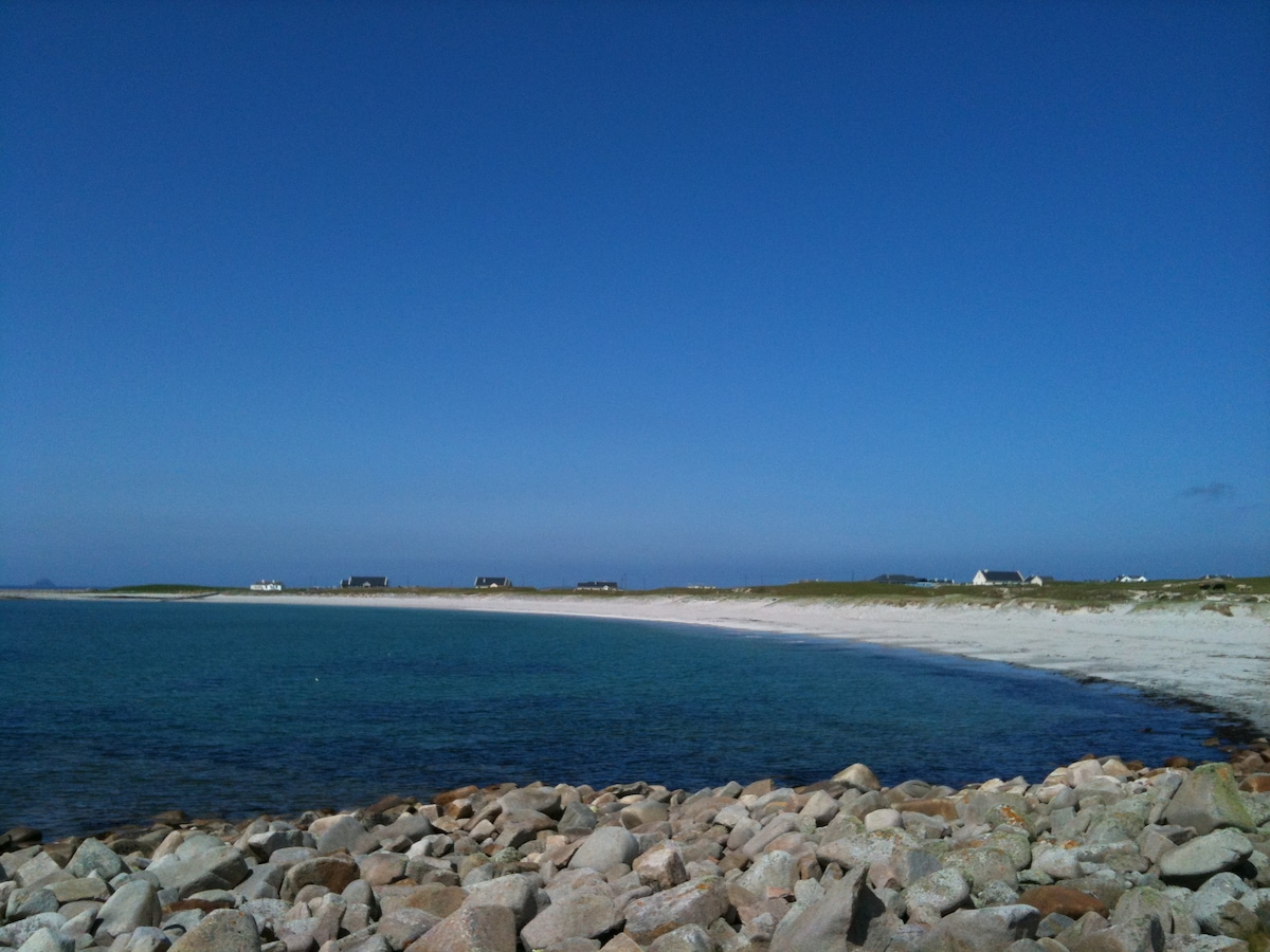 Oileán sa TuaidhIslet · 2.7 mi
 Trá na CroiseBeach / strand · 3.2 mi
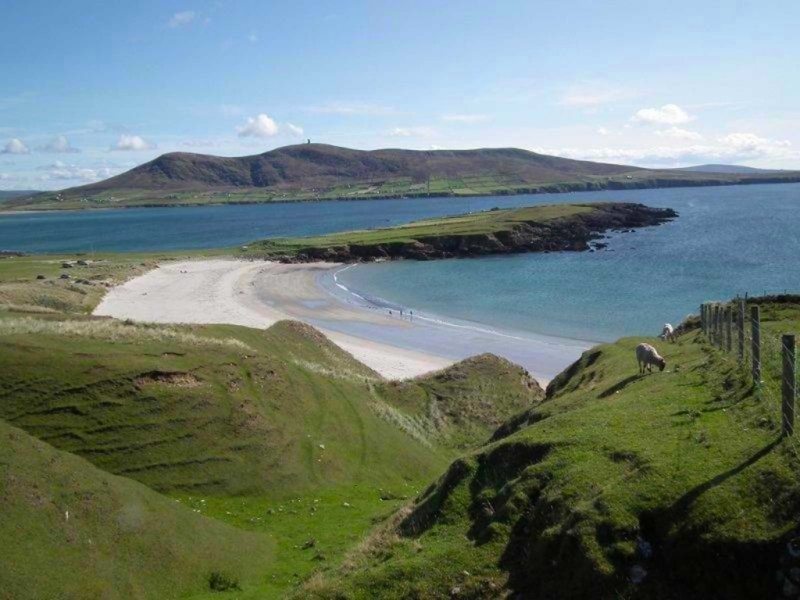 Inis GluaireIsland · 3.5 mi