What is recorded here
Near SE corner of graveyard (14595). Ruinous rectangular church, visible through heavy overgrowth of brambles. Walls collapsed, estimated H 0.5m; gap, probably for door ope, near W end of S wall. Depicted as rectangular structure on 1905 and 1936 OS 6-inch maps (c. 15m SW-NE; c. 8m NW-SE). Power (1932, 70) describes masonry as poor, low in height, and gives dimensions as about 45ft. x 19 ft.
The above description is derived from the published 'Archaeological Inventory of County Cork. Volume 4: North Cork' (Dublin: Stationery Office, 2000). In certain instances the entries have been revised and updated in the light of recent research.
Date of upload/revision: 14 January 2009
The monument record does not grant public access. Check the route and ask the landowner before entering private land.
- What survives
- Recorded monument
Places near here
 Ballyclough Burial GdGraveyard · 21 yd
 Country house in Kilmagner (condons and Clongibbon By.)Country house · 94 yd
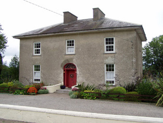 Kilbarry Househouse · 1446 yd
 Natural heritage of CoolagowanVisitor information · 1722 yd
 Life Space ParkPicnic place · 1.2 mi
 Moated site in Ballybride UpperMoated site · 1.3 mi
 Aghern CastleCastle · 2.5 mi
 Castle (in Ruins)Castle, tower house · 2.7 mi
 Aghern CemeteryWood · 2.8 mi
 Castlebrook forestWood · 3.6 mi
 Pope's WellSpring · 3.6 mi
 Graveyard in Curraheen (kinnatalloon By.)Graveyard · 3.9 mi