What is recorded here
At a graveyard (MA023-014002-). A rectangular building with E–W long axis, named ‘Church’, is shown on the 1838 OS 6-inch map; it is indicated as ‘Church (in Ruins)’ on the 1921 edition. No trace of the church is now visible, and no record survives of what it looked like. A right-angled indentation (4m E–W; 4m N–S) of the graveyard wall at the NW corner of the graveyard appears to mark its original location.
Compiled by: Jane O’Shaughnessy
Date of upload: 19 July 2023
The monument record does not grant public access. Check the route and ask the landowner before entering private land.
- What survives
- Recorded monument
Places near here
 Enclosure in Inis Gé ThuaidhEnclosure · 196 yd
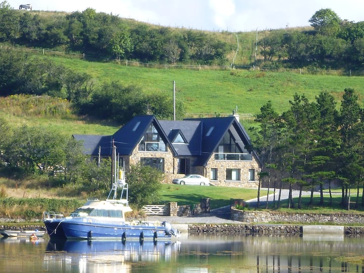 Cross in Inis Gé ThuaidhCross · 281 yd
 Inis Gé ThuaidhIsland · 796 yd
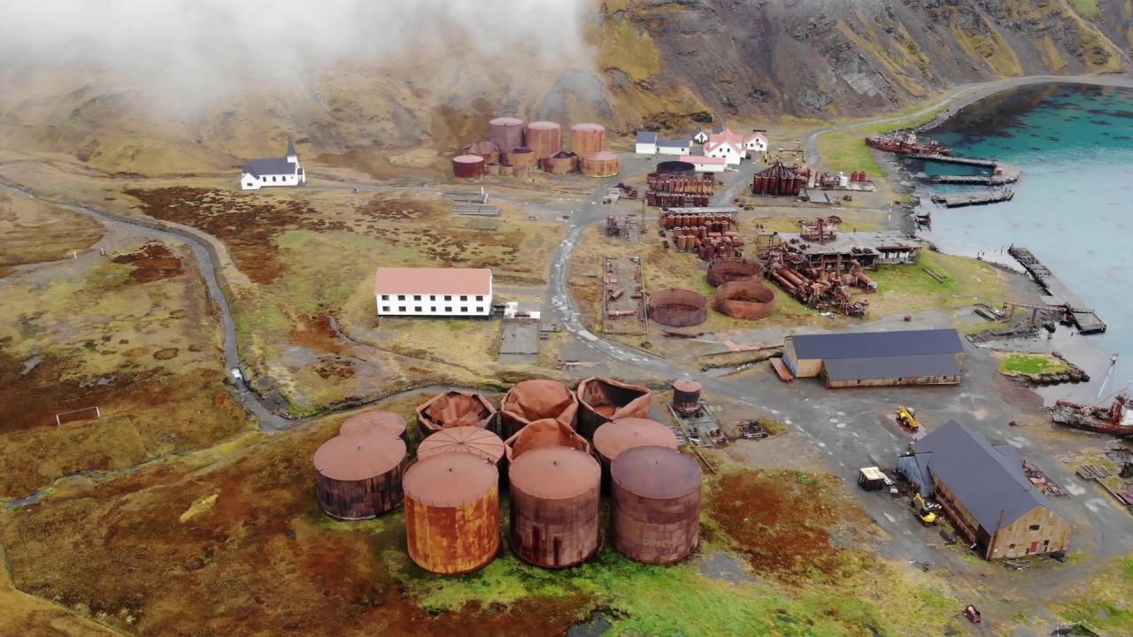 Rusheen Island Whaling StationRuins · 1649 yd
 RoisínIslet · 1701 yd
 Church (in Ruins)Church · 1.1 mi
 Site of Redmond Barretts CastleCastle, unclassified · 3.2 mi
 Termon BeachBeach / strand · 4.0 mi
 Trá OilíBeach / strand · 4.6 mi
 Barranagh Castle in RuinsCastle, unclassified · 5.7 mi
 Cuan an Fhóid DuibhBay · 7.8 mi
 Saddle HeadHeadland · 8.0 mi