
What is recorded here
You can still see the narrow ogee light in the east gable, a thin cut through granite rubble that once pulled daylight into Killerrig. The church has lost most of itself, but the graveyard and burial enclosure remain active around the ruin, marking the place as a living boundary rather than a dead one.
The following description is derived from the published 'Archaeological Inventory of County Carlow' (Dublin: Stationery Office, 1993). In certain instances the entries have been revised and updated in the light of recent research.
Date of revision: 16 December 2009
Revised by: J. Farrelly
Roughly N of centre within the graveyard (CW008-008003-). Parish church of Killerrig. Portion of E gable and foundations of E parts of N and S walls of mortared granite rubble visible. Fine narrow ogee-headed light in centre of E gable. Nineteenth-century burial enclosure built on S wall and across W portion of church. Preceptory site c. 500 yards to west (CW008-007----).
The monument record does not grant public access. Check the route and ask the landowner before entering private land.
- What survives
- Recorded monument
Places near here
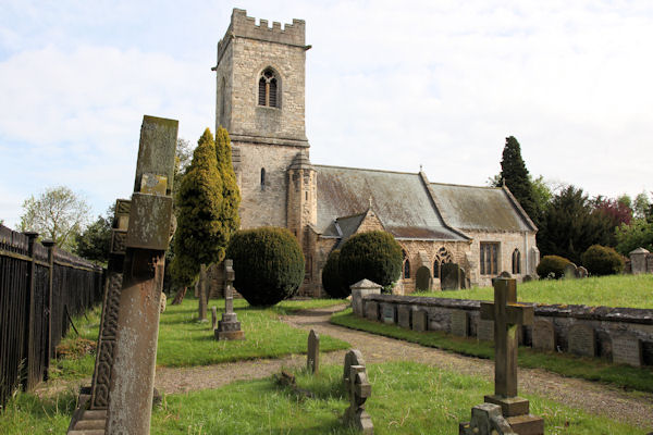 St. John the Baptists Preceptory (in Ruins)Religious house, Knights Hospitallers · 142 yd
 Enclosure in KillerrigEnclosure · 285 yd
 Site of CastleCastle, unclassified · 969 yd
 Catholic Church of Saint John the Baptistchurch/chapel · 1173 yd
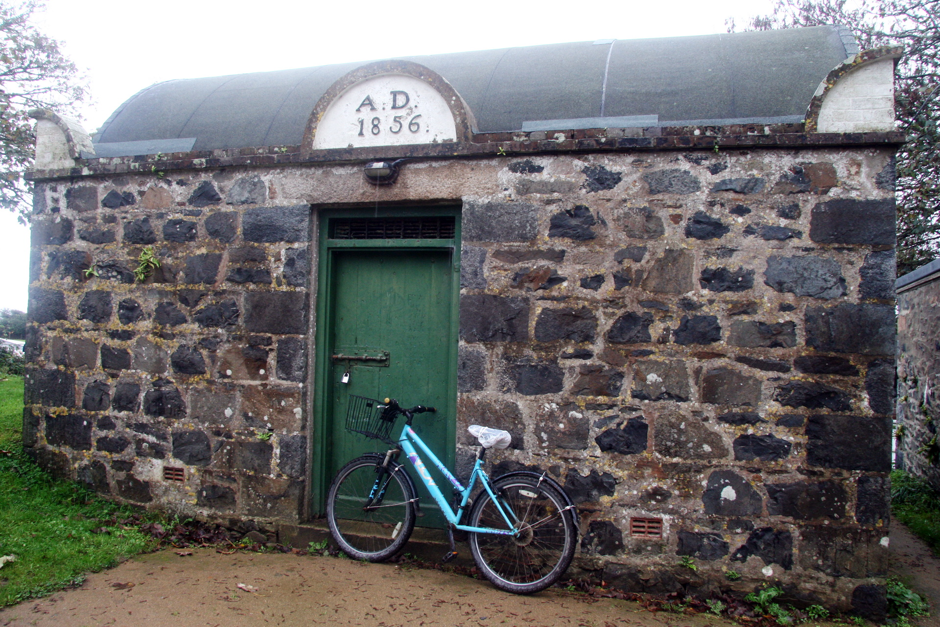 Enclosure in StraboeEnclosure · 1366 yd
 CastleCastle, unclassified · 1.2 mi
 Duckett's GroveHeritage attraction · 1.2 mi
 Church (in ruins), Cross, GraveyardChurch · 1.8 mi
 Cork oakCork oak · 2.0 mi
 European YewEuropean Yew · 2.3 mi
 Brownshill Portal TombVisitor information · 3.6 mi
 ProclamationMemorial · 4.9 mi
Other information
Photo: Credit not shown in the picture search · Rights wording not checked; contact us if this picture should be removed