
What is recorded here
Situated on an E-facing slope of rising ground in an upland area with a nearby holy well site (TN034-012) to the W. Founded by St Culan in the seventh century (Gwynn and Hadcock 1970, 385). The bell shrine of St Culan, a twelfth-century reliquary, was found in a nearby hollow tree (Cooke 1822, 33-9) close to the site of the holy well. The poorly preserved remains of a nave and chancel church (int. dims 7.9m N-S;16.65m E-W; wall T 0.8m), the chancel of which is totally destroyed, with partial remains of the N and S walls and the W gable fully intact. The walls are ivy-covered obscuring any architectural features present. Impressive angle buttressing (wall T 1.9m) supports the W gable. An armorial plaque and graveslab (TN034-013004) dedicated to Walter Burke of Illeigh erected in 1626 by Patrick Kerin (White 1892, 33) is inserted into the E end of the N wall of the nave. The church is described in the OS Letters as a nave (dims. 53ft (16.16m) E-W; 26 ft (7.93m) N-S) and chancel (dims. 31ft 6in (9.65m) E-W; 16ft 6in (5m) N-S) church with partial remains of chancel arch and the E gable surviving with a twin-light window (O'Flanagan 1930, vol. 1, 188-9). An old mill (TN034-013002) was discovered in 1821 near the church. Church located on top of high ground in centre of large graveyard (TN034-013003) enclosed by a 19th century wall. Memorials of 18th and 19th century date contained within graveyard.
The above description is derived from 'The Archaeological Inventory of County Tipperary. Vol. 1 - North Tipperary' compiled by Jean Farrelly and Caimin O'Brien (Dublin: Stationery Office, 2002). In certain instances the entries have been revised and updated in the light of recent research.
Date of upload/revision: 22 September 2008
The church at Glenkeen was founded by St. Culan in the seventh century and is associated with a nearby holy well. Its location and early dedication suggest it was an important early Christian site in the upland region.
The monument record does not grant public access. Check the route and ask the landowner before entering private land.
- What survives
- Recorded monument
Places near here
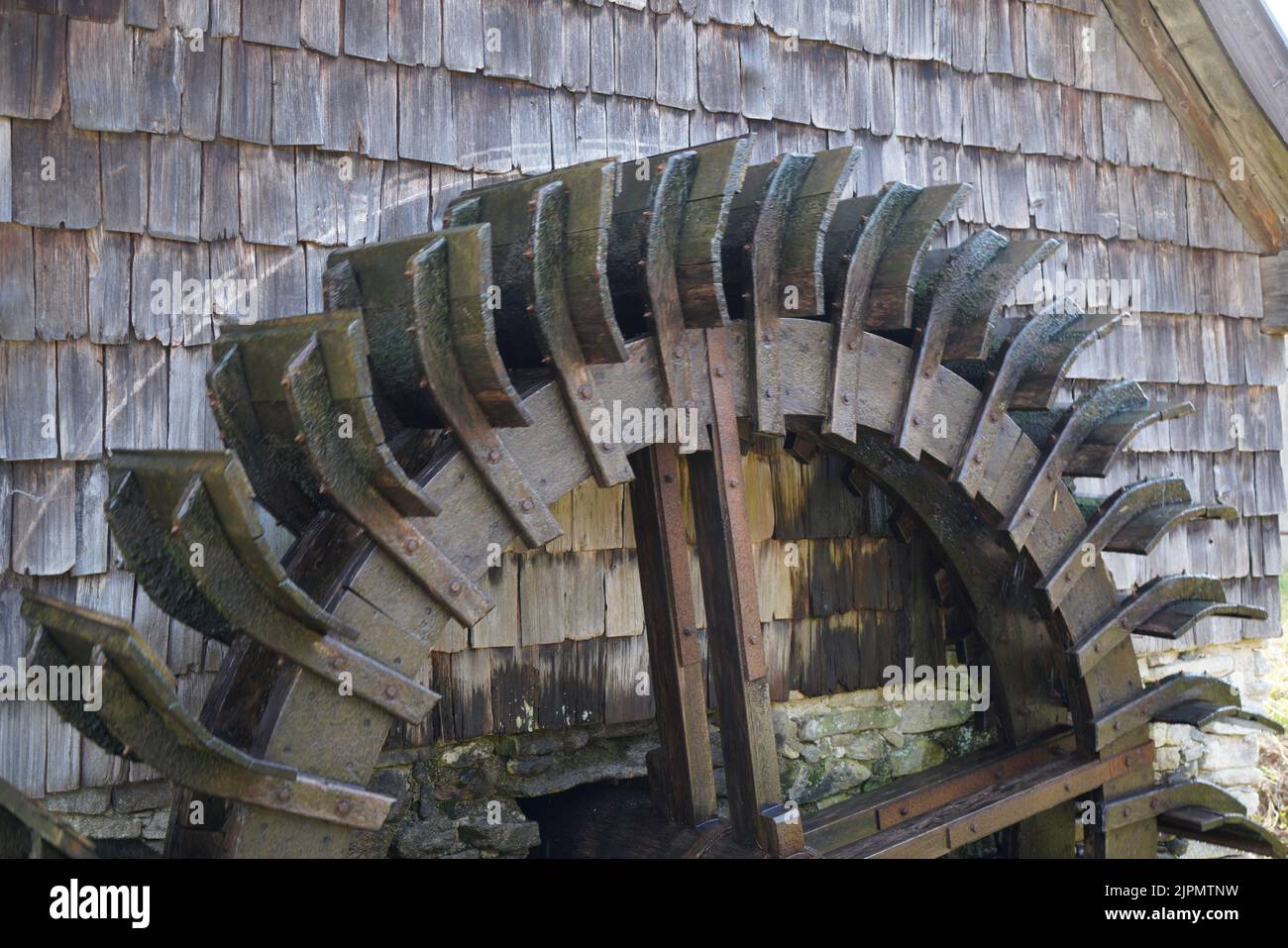 Water millWater mill, horizontal-wheeled · 105 yd
 Glenkeen Well (Site of)Holy well · 142 yd
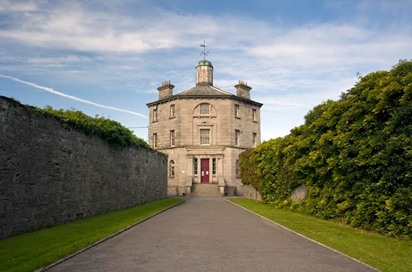
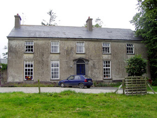 Glebe Houserectory/glebe/vicarage/curate's house · 199 yd
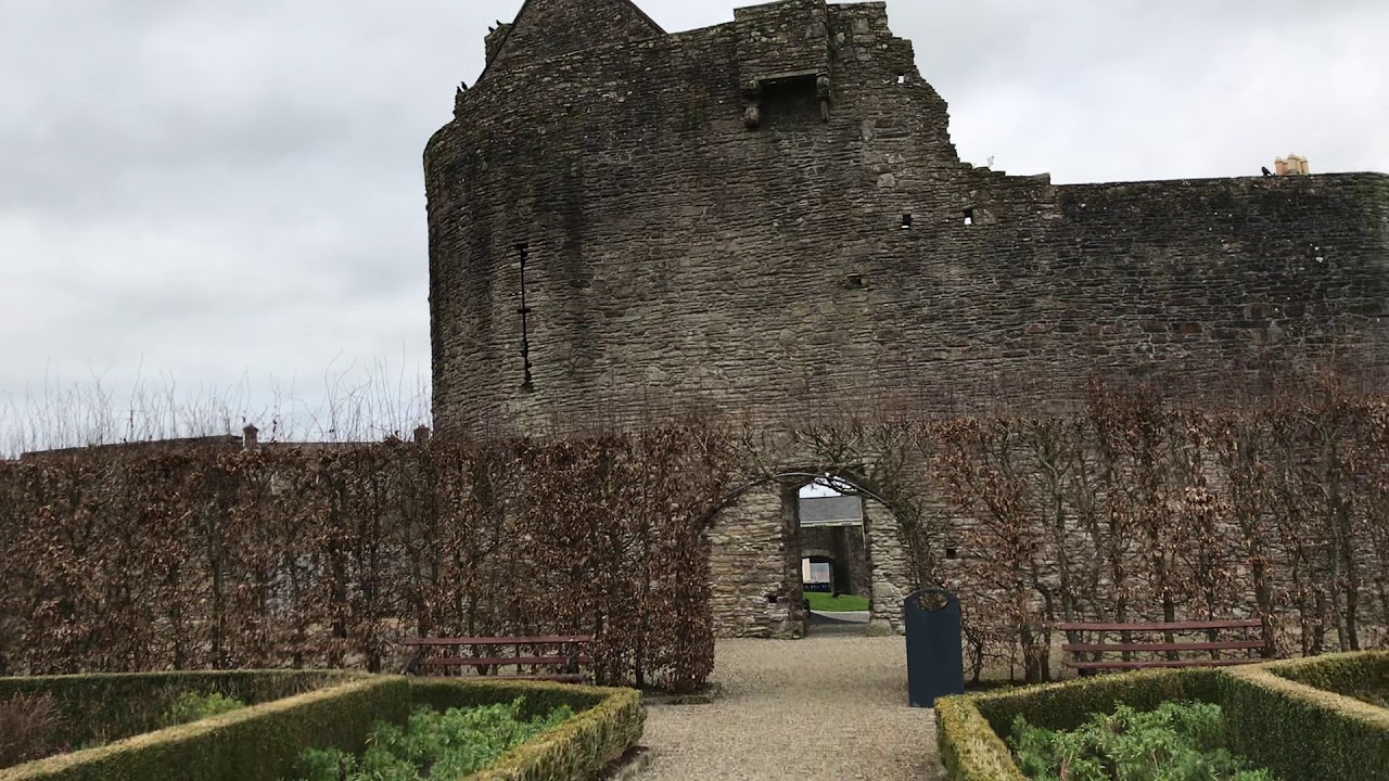 Enclosure in Curraghglass (glenkeen Par.),garrangrena LowerEnclosure · 1130 yd
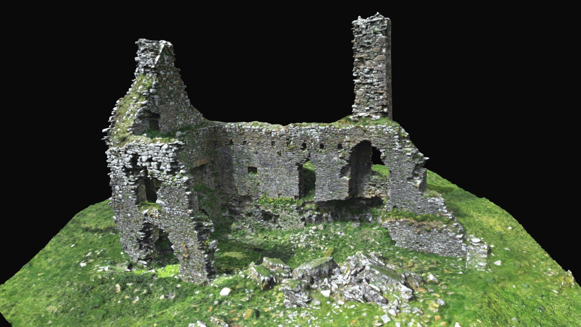 CastleCastle, ringwork · 1.5 mi
 Castle (in ruins)Castle, tower house · 1.5 mi
 GortagarryMountain / peak · 3.3 mi
 Kilvilcorris BogForest · 3.3 mi
 CoumsallahaunMountain / peak · 3.9 mi
 Killavalla WoodForest · 4.4 mi
 James Devaney MemorialMemorial · 11 mi
 Old BarracksHeritage attraction · 11 mi
Other information
Photo: Credit not shown in the picture search · Rights wording not checked; contact us if this picture should be removed