
What is recorded here
Galbally Church described in the Urban Survey of Limerick as following; 'This very ruined and overgrown thirteenth century church is situated on high ground overlooking the modern village and the river Aherlow. It consists of a long narrow single aisled building of rubble sandstone with sandstone jambs. Later additions are in limestone and large sections of the church are rebuilt. The east gable is 6-7m high, the north and south walls are 3-4m high and 2m of the west gable remains to a height of 4m. The east gable is largely rebuilt and incorporates re-used jambs. Only one jamb remains in situ. There is a round arched opening towards the west end. The west wall is featureless. Under the east window a trapezoidal shaped block of sandstone has been inserted which is decorated with a figure in high relief. The features are very worn but it appears to be seated and holding something on its knee. Also set into the wall under the east window is a very worn sandstone block decorated with what is possibly a head. Window jambs, mullions, dressed stone and a column decorated with sugar barely twist are in use as gravemarkers in the graveyard. South of the south door is a small worn slab (Dims. H 0.4m X Wth 0.44m X T 0.05m) with the incised inscription: HERE LYETH THE BODY OF MARY ... HIS WIFE..' (Bradley et. al. 1989, 131-2).
Westropp (1904-5, 452) recorded the following details about Galbally also known as Aherlow Church; 'The church of Natherlagh, Galbally (alias Aherloe), with the chapel for the rector, 1291. The town of Galbally, "consisting of the walls of a very fine house or castle [LI049-086004-], lately well fortified, a grist mill and a tucking mill [LI049-086008-] upon the river Aharloe, and a few Irish cabins," 1657 (D.S. (A), 52, explanation).
Fabric - The church is unusually long for its width, 136 feet [41.45m] by 25 feet 9 inches [7.85m]; the east window had a double trefoil-headed light, and flat splay arch. There are three rude and late south windows, and a door. The walls, 18 feet [max. H. 5.5m] by 4 feet [1.2m]. All of the latest fifteenth century (O.S.L., 9, p. 212).
See attached plan of church taken from the Urban Survey of Limerick
Compiled by: Caimin O'Brien
Date of upload: 26 June 2019
A local church or high cross; wider significance not recorded.
The monument record does not grant public access. Check the route and ask the landowner before entering private land.
- What survives
- Recorded monument
Places near here
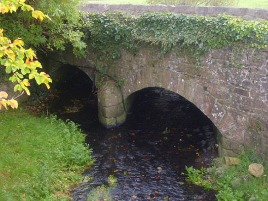 bridgebridge · 216 yd
 Tuck MillWater mill, unclassified · 228 yd
 Moated site in ArdrahinMoated site · 484 yd
 Killanellig (Site of), HachuredChurch · 633 yd
 Duntryleague HillMountain / peak · 1.4 mi
 Darby's Bed Walk LoopWalking route · 1.4 mi
 Knockanebrack HillMountain / peak · 2.1 mi
 Duntryleague - hachuredCastle, ringwork · 2.2 mi
 Site of Dungrot CastleCastle, unclassified · 2.6 mi
 Carn (site of)Cairn, burial cairn · 3.3 mi
 Assaroula WaterfallWaterfall · 3.5 mi
 Giant's Rock - Rock of AglaishNamed rock · 3.6 mi
Other information
Photo: Credit not shown in the picture search · Rights wording not checked; contact us if this picture should be removed