
What is recorded here
Situated in Delgany village on a gentle S-facing slope overlooking a stream valley. A nave (int. dims. 14m x 6.2m) and chancel (int. dims. c. 7.4m x 4m) church which remained in use until c. 1789. The walls survive only at lower levels apart from a portion of the N wall of the nave and are of uncoursed rubble with large blocks towards the wall footings. The inner face of the nave retains some plaster. The walls of the chancel are thicker (T 1m) than those of the nave (T 0.75m) and contain more large blocks. A single stone protruding from the N wall of the nave may indicate the junction between the nave and chancel. A doorway occurs in the S side of the nave with a large flagstone sill and there is an indication of a window opposite in the N wall. Some early nineteenth-century headstones occur within the church which stands at the S side of a trapezoidal graveyard (dims. 70m x (max.) 45m). The remains of a granite high cross are situated to the N of the church and consist of the lower portion of the cross-shaft with rectangular section and chamfered edges (H 1.87m; 0.47m x 0.3m). The W, S and E faces have the remains of rebated panels and six (indecipherable) lines of script survive on the S face (Harbison 1992, 61). A subrectangular font forms part of a low wall outside the doorway of the church. The graveyard is enclosed by a modern (nineteenth-century) wall, and contains several early eighteenth-century headstones.
The above description is derived from the published 'Archaeological Inventory of County Wicklow' (Dublin: Stationery Office, 1997). In certain instances the entries have been revised and updated in the light of recent research.
Date of upload: 07 February 2013
The monument record does not grant public access. Check the route and ask the landowner before entering private land.
- What survives
- Recorded monument
Places near here
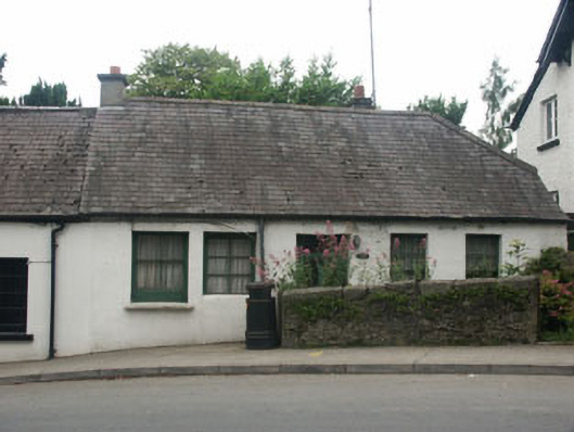 Beaumont Cottagehouse · 37 yd
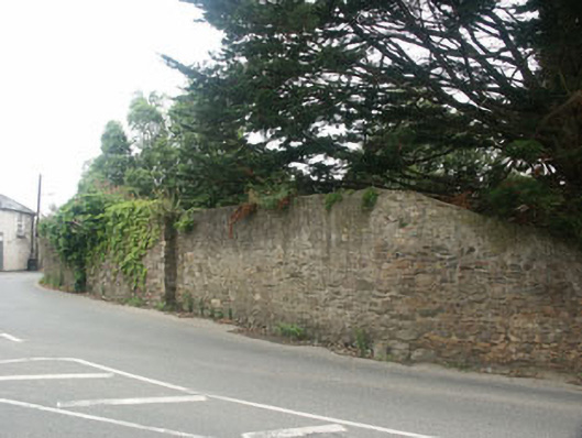 The Old Rectorygates/railings/walls · 41 yd
 Delgany Heritage TrailWalking route · 381 yd
 TuliptreeTuliptree · 827 yd
 Enclosure in FarrankellyEnclosure · 973 yd
 Kindlestown Castle (in ruins)Castle, hall-house · 1072 yd
 Font in WoodlandsFont · 1355 yd
 Glen of the DownsNature reserve · 1.0 mi
 Greystones WayWalking route · 1.5 mi
 Greystones South BeachBeach / strand · 1.6 mi
 The CoveBeach / strand · 1.7 mi
 Rathdown Castle (in ruins)Castle, unclassified · 1.9 mi
Other information
Photo: Credit not shown in the picture search · Rights wording not checked; contact us if this picture should be removed