
What is recorded here
Church situated at NW corner of a subrectangular graveyard. Rectangular building of stone and mortar construction (dims. 16m E-W; 7m N-S). Features include a collapsed doorway in W wall, an intact doorway in S wall and one window in the N, E and S walls respectively. Some gravestones and trees within the church. Davies (1948, 80) recorded that the church was erected in the 18th century and was abandoned in 1834. He noted the local tradition that the original Castlerahan church stood '50 yds. to the east' of the present church (CV038-008003-). (CUCAP AYS 34, AYS 35, AYS 36)
The above description is derived from the published 'Archaeological Inventory of County Cavan' (Dublin: Stationery Office, 1995). In certain instances the entries have been revised and updated in the light of recent research.
Date of upload/revision: 22 December 2008
The monument record does not grant public access. Check the route and ask the landowner before entering private land.
- What survives
- Recorded monument
Places near here
 CastleCastle, ringwork · 56 yd
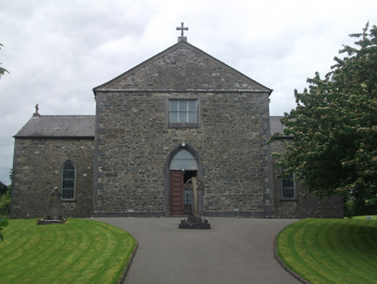 St Mary's Roman Catholic Churchchurch/chapel · 593 yd
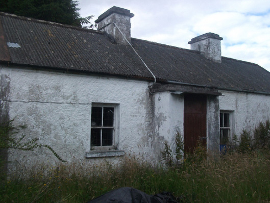 farm housefarm house · 1116 yd
 Enclosure in GarryrossEnclosure · 1.5 mi
 Rasuddan ForestForest · 1.7 mi
 Aghalion HillMountain / peak · 1.9 mi
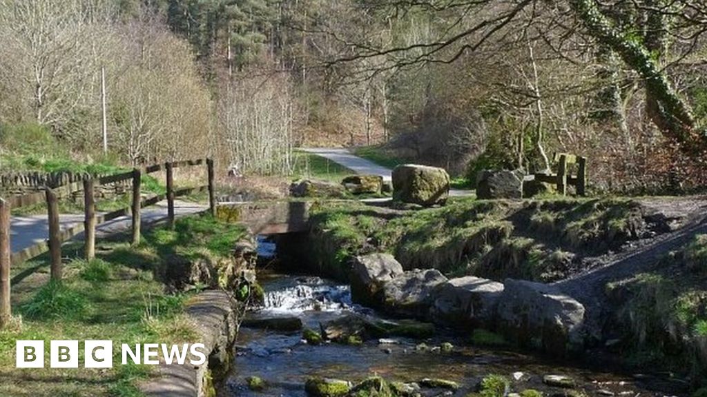 Carn ForestForest · 2.0 mi
 Mass-rock in Dungummin LowerMass-rock · 2.1 mi
 CarnMountain / peak · 2.2 mi
 Saint Joseph's Catholic CemeteryMemorial · 2.7 mi
 Church of IrelandMemorial · 2.8 mi
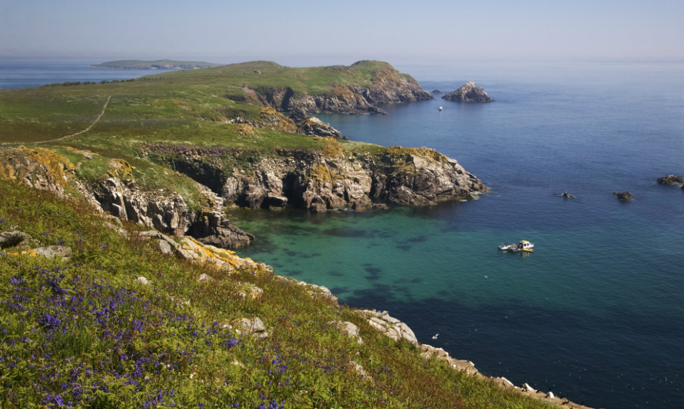 Crossafehin IslandsIslet · 2.8 mi
Other information
Photo: Credit not shown in the picture search · Rights wording not checked; contact us if this picture should be removed