What is recorded here
Located towards the top of a gentle S-facing slope. The parish church of Artramon is within a small rectangular graveyard (dims c. 33m E-W; c. 28m N-S) defined by earthen banks. This is within a possible ecclesiastical enclosure visible as a D-shaped area (dims c. 130m N-S; c. 120m E-W) truncated by a N-S lane at W that is visible on digitalmap images. It is also faintly visible under polythene on Google Earth (25/05/2017), and was first reported by Ivor Kenny. According to a Visitation by Thomas Ram, the Protestant bishop of Ferns, in 1615 Richard Devereoux was the rector of Ardcroman, Richard Hore the curate, and while the church was in good condition the chancel needed repair (Hore 1900-11, vol. 6, 271).
This is a nave and chancel church of which only the chancel (int. L 6.9m; int. Wth 4.25m) can be traced as wall foundations, except the N wail (H c. 5m) which has two small lights placed high in the ivy-covered wall, and the adjacent part of the E wall with two niches placed one above the other. A stone with prehistoric cup-mark decoration was identified in the graveyard during 2018 by Michael Fortune. It is a naturally rounded granite stone (dims 0.44m x 0.4m; T 0.27m) covered in cup-marks (diam. c. 2.5-4cm; D0.5-1cm) on one face only. St Bridget's Well (WX037-06----), an oval drystone walled well that is still venerated, lies c. 120m to the SSW and the tower house (WX037-07----) is c. 170m to the SSW.
See the attached section from the Down Survey (1656-8) parish map (N at left) reproduced courtesy of the National Library of Ireland (Ms 725)
The above description is derived from the published 'Archaeological Inventory of County Wexford' (Dublin: Stationery Office, 1996). In certain instances the entries have been revised and updated in the light of recent research.
Compiled by: Michael Moore
Date of upload/revision: 12 December, 2012
Amended: 4 Sep. 2013, 10 October, 2018, 26 October 2018
The monument record does not grant public access. Check the route and ask the landowner before entering private land.
- What survives
- Recorded monument
Places near here
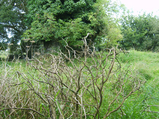 graveyard/cemeterygraveyard/cemetery · 1 yd
 Ecclesiastical enclosure in ArtramonEcclesiastical enclosure · 22 yd
 St. Bridgets WellHoly well · 133 yd
 Artramon CastleCastle, tower house · 186 yd
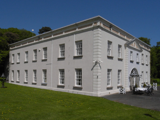 Artramon Housecountry house · 340 yd
 Eden ValeWood · 1586 yd
 Castle (in ruins)Castle, unclassified · 1.1 mi
 Peace GardenMemorial · 1.2 mi
 Rectory Hall ForestWood · 1.4 mi
 Three Sisters River CruisesHeritage attraction · 2.8 mi
 Wexford Wildfowl ReserveHeritage attraction · 2.9 mi
 Commodore John Barry MemorialMemorial · 3.0 mi