What is recorded here
This record refers to a church which is shown in the NE part of Rosses Upper townland on the Down Survey barony and parish maps (1665-8). There are no known remains of a church in this area; its exact location remains unknown.
Compiled by: Jane O'Shaughnessy
Date of upload: 14 December 2016
The monument record does not grant public access. Check the route and ask the landowner before entering private land.
- What survives
- Recorded monument
Places near here
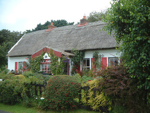 An Sean Tuíhouse · 280 yd
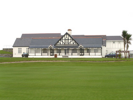 County Sligo Golf Clubclubhouse · 595 yd
 Waiting on ShoreMemorial · 814 yd
 Enclosure in Rosses UpperEnclosure · 849 yd
 Rosses Point BeachBeach / strand · 1046 yd
 Oyster IslandIslet · 1059 yd
 Enclosure in Oyster IslandEnclosure · 1374 yd
 Drumcliff BayBay · 1.3 mi
 Coney IslandIsland · 1.5 mi
 Finned PointHeadland · 1.6 mi
 Doonanpatrick IslandIslet · 1.8 mi
 CastleCastle, unclassified · 2.3 mi