What is recorded here
The OS Letters (O'Flanagan1928, 36) mention that the church here had been destroyed, although the graveyard was still in use. The site may be identifiable with the burial ground at Ballycore (WI020-011----).
The above description is derived from the published 'Archaeological Inventory of County Wicklow' (Dublin: Stationery Office, 1997). In certain instances the entries have been revised and updated in the light of recent research.
Date of upload/revision: 17 December 2008
The monument record does not grant public access. Check the route and ask the landowner before entering private land.
- What survives
- Recorded monument
Places near here
 Font in GoldenfortFont · 1282 yd
 CrossCross, Wayside cross (present location) · 1508 yd
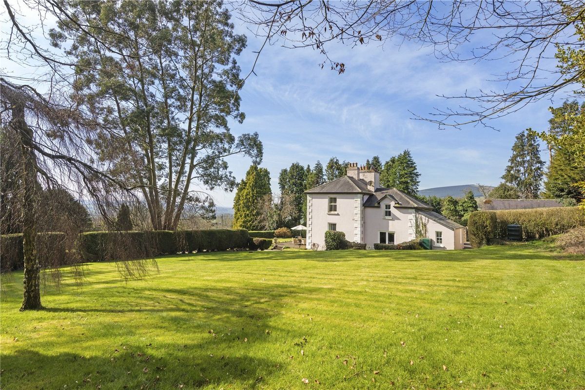 Goldenfort HouseRuins · 1682 yd
 Ballyhook HillMountain / peak · 1.2 mi
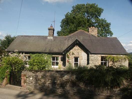 Station Houseworker's house · 1.2 mi
 Grangecon Castle (in ruins)Castle, tower house · 1.8 mi
 Tinoran HillMountain / peak · 2.3 mi
 CastlerudderyCastle, unclassified · 2.7 mi
 Site of Fair GreenForest · 3.4 mi
 English hollyEnglish holly · 3.4 mi
 Saint Brigit's Mass StoneNamed rock · 4.4 mi
 Saint Brigit's ChairNamed rock · 4.5 mi