What is recorded here
This site is not recorded on any map, but it well known locally. It is situated in a broad low-lying col between low hills c. 1km to the W and SW and the SW end of a low ridge c. 500m to the E. The headwaters of a small N-S stream are c. 180m to the E. This is a rectangular grass-covered area (dims. 23m E-W; 19m N-S) with a cairn (dims 8m N-S; 4m E-W; H 0.4m) containing quartz stones. Also present are the head of a round-headed window in granite and two large granite voussoirs with a chamfered edge, probably from a pointed doorway. There is no evidence of any structure, enclosure or burial, although it is known principally in the local folklore as a graveyard (IFC: Schools' Collection vol. 0901, 236). Two portions of an eight-sided cross from this site are at a nearby house (WX025-058----), and a stone cresset from Moneyhore (Moore 1988, 112), presumably from the site, is now in the collection of County Wexford Museum.
The above description is derived from the published 'Archaeological Inventory of County Wexford' (Dublin: Stationery Office, 1996). In certain instances the entries have been revised and updated in the light of recent research.
Compiled by: Michael Moore
Date of upload/revision: 3 July, 2012
Amended: 19 September 2019
The monument record does not grant public access. Check the route and ask the landowner before entering private land.
- What survives
- Recorded monument
Places near here
 CrossCross, Churchyard cross · 1 yd
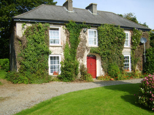 Moneyhore Housefarm house · 481 yd
 Ecclesiastical enclosure in TemplescobyEcclesiastical enclosure · 1307 yd
 Water millWater mill, horizontal-wheeled · 1390 yd
 Killoughrum ForestForest · 2.0 mi
 Daphney CastleCastle, unclassified · 2.2 mi
 Wilton Ho.Castle, unclassified · 2.9 mi
 Duffry GateMemorial · 3.4 mi
 U.N. Peace MemorialMonument · 3.5 mi
 National 1798 CentreMuseum · 3.5 mi
 Battle of Vinegar HillMajor battlefield · 3.5 mi
 Raheennahoon HillMountain / peak · 5.3 mi