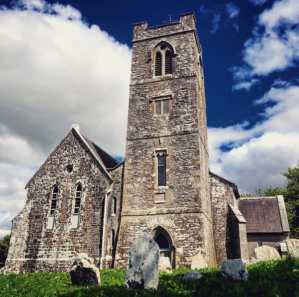
What is recorded here
Power (1932, 89) refers to site of 'cill' quarried away near NW angle of workhouse (14781). Quarry shown on OS 6-inch maps outside SW angle. No visible surface trace remains.
The above description is derived from the published 'Archaeological Inventory of County Cork. Volume 4: North Cork' (Dublin: Stationery Office, 2000). In certain instances the entries have been revised and updated in the light of recent research.
Date of upload/revision: 14 January 2009
A local church or high cross; wider significance not recorded.
The monument record does not grant public access. Check the route and ask the landowner before entering private land.
- What survives
- Recorded monument
Places near here
 bridgebridge · 166 yd
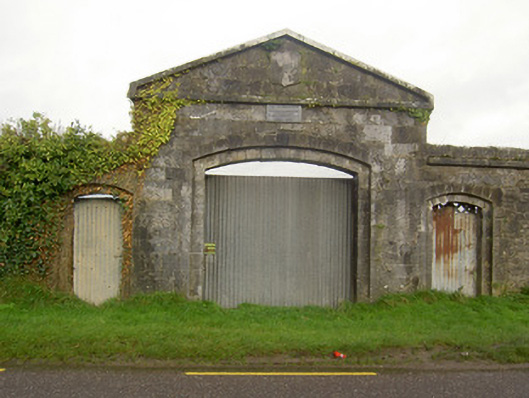 workhouseworkhouse · 202 yd
 IndicatedWorkhouse · 208 yd
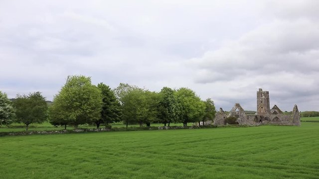 BurialGround (Dis)Graveyard · 361 yd
 John MandevilleMemorial · 1101 yd
 Mitchelstown Town MapVisitor information · 1108 yd
 Statue of Saint FanahanMemorial · 1235 yd
 White Knights Tower (Site of)Castle, unclassified · 1.1 mi
 Carriganoura Castle (in Ruins)Castle, tower house · 2.9 mi
 Skeheen MountainMountain / peak · 2.9 mi
 FlagCave · 3.2 mi
 Ballyarthur HillMountain / peak · 3.7 mi
Other information
Photo: Credit not shown in the picture search · Rights wording not checked; contact us if this picture should be removed