What is recorded here
According to the OS Letters (1840) 'About a furlong to the east of the [Killusty] castle is shown in a green field a spot where, it is said, the Church called Cill Osta stood, from which the Townland derived its name. There is not a vestige of it now traceable' (O'Flanagan 1930, vol. 1, 82 (220)). The present owners of Killusty Castle (TS070-106001-) are not aware of any church in the vicinity of the tower house. This possible church is unlocated within the townland.
Compiled by: Jean Farrelly
Date of upload: 28 January 2013
The church in Killusty North, also known as Cill Osta, was likely built in the early medieval period, with its name suggesting dedication to Saint Ostia. Its location near a former castle and the townland's derivation from the church highlight its historical and religious significance in the local area.
The monument record does not grant public access. Check the route and ask the landowner before entering private land.
- What survives
- Recorded monument
Places near here
 Killusty CastleCastle · 1162 yd
 CarrigdotiaMountain / peak · 1190 yd
 Killusty Bridgebridge · 1473 yd
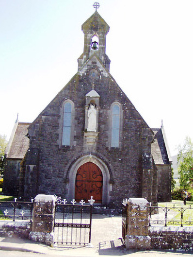 Catholic Church of the Sacred Heartchurch/chapel · 1621 yd
 CarrickbrockMountain / peak · 1735 yd
 Clare Castle (in ruins)Castle, hall-house · 1.1 mi
 IndicatedEnclosure · 1.7 mi
 Pedunculate OakPedunculate Oak · 1.7 mi
 CarrigaunEnclosure · 1.8 mi
 Grove WoodForest · 3.0 mi
 East GateMemorial · 3.6 mi
 Clare Br.Bridge · 1.0 mi