What is recorded here
The Ordnance Survey Letters (1838/40) noted 'In the townland of Killough, parish of Kilmacannoge, and near Killough bridge, they show a little field in which stood the church of Killough, i.e. Kill of the lough, or as others called it Killeóch, i.e. Cill of the Virgin. No vestige of church or church yard now remains.' (O' Flanagan 1928, 18A).
Compiled by: Claire Breen
Date of upload: 01 February 2013
The church in Killough Lower was likely built in the early medieval period, associated with the parish of Kilmacannoge; its name suggests a dedication to Saint Mac Cannan, and it reflects the typical rural Christian settlement pattern of early Ireland. Its location near Killough Bridge indicates its role as a local place of worship in a small, possibly monastic, community.
The monument record does not grant public access. Check the route and ask the landowner before entering private land.
- What survives
- Recorded monument
Places near here
 Ballyorney Househouse · 1254 yd
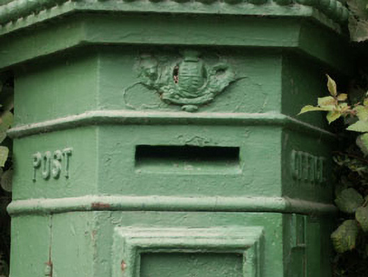 post boxpost box · 1268 yd
 The Sugar Loaf WayWalking route · 1657 yd
 Great Sugar LoafMountain · 1666 yd
 Giant SequoiaGiant Sequoia · 1684 yd
 Great SugarloafMountain / peak · 1715 yd
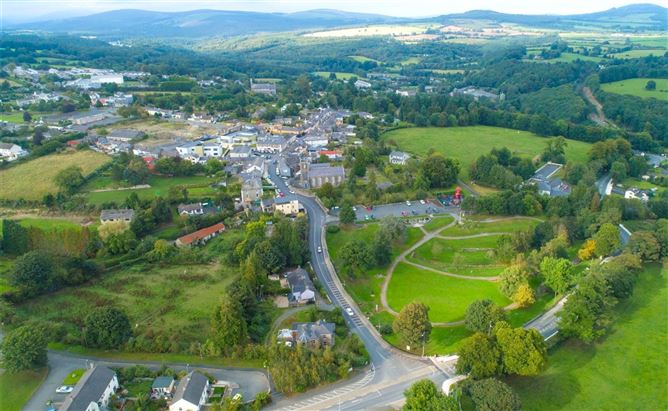 Enclosure in Ballyremon CommonsEnclosure · 1.1 mi
 Monterey CypressMonterey Cypress · 1.2 mi
 Enclosure in Charleville DemesneEnclosure · 1.2 mi
 Johnny Fox's MemorialMemorial · 1.4 mi
 Lover's LeapNamed rock · 1.4 mi
 Powerscourt EstateHeritage attraction · 1.7 mi