What is recorded here
On ground sloping gradually to the E in rolling terrain. This church is not visible above ground level, however, the exact location is not known. It is not marked as a church on either edition of the OS 6-inch maps. According to Power (1908, 17) '“Church of Midhe's Height.” The site of the church was discovered with much difficulty to west of main road, at, or close to, a place now occupied by a couple of farmhouses'.
Compiled by: Jean Farrelly
Date of upload: 28 November 2013
The monument record does not grant public access. Check the route and ask the landowner before entering private land.
- What survives
- Recorded monument
Places near here
 Font (present location) in Garryduff (ballybacon Par.)Font (present location) · 456 yd
 Font in Raheen (ballybacon Par.)Font · 505 yd
 Ladys Abbey (in ruins)Religious house, Carmelite friars · 1139 yd
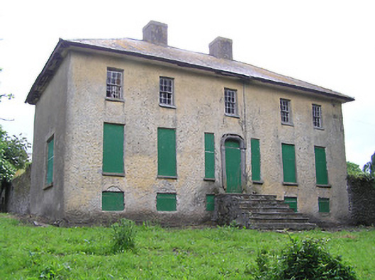 Lacken Househouse · 1372 yd
 Site of Clocully CastleCastle, unclassified · 1.6 mi
 Bawn in FrehansBawn · 2.0 mi
 Kildanogue wildfowl sanctuary and nature reserveNature reserve · 2.1 mi
 Woodcock HillMountain / peak · 2.3 mi
 Roche's HillMountain / peak · 3.1 mi
 European long distance path E8 - part IrelandWalking route · 3.4 mi
 The VeeViewpoint · 3.5 mi
 Bohernagore WoodForest · 3.5 mi