What is recorded here
It was recorded by the OSL (Herity 2002, 13) that the graveyard of Killadoon (KD011-006002-) contained, ' … some (remaining) portions of the walls of the (old) Church'. OMURETHI (1909-11, 209) records, 'About the year 1294 the churches of Kyledonane (Killadoon … ) … and "Tristyldelane" (KD014-016---) … are reported to be not worth the service of chaplains'. The remains lie to the N of the centre of a graveyard (KD011-006001-). A rectangular depression (int. dims. L 8m E-W; Wth 3.4m; D 0.3-0.6m) is further defined along its E and W ends by sod and ivy-covered stony spreads (Wth along E 6.3m; int H 0.3m; ext H 0.4m; Wth along W 4m; int H 0.9m; ext. H 0.2m) which are the remains of collapsed walling.
Compiled by: Gearóid Conroy
Date of upload: 10 June 2011
The monument record does not grant public access. Check the route and ask the landowner before entering private land.
- What survives
- Recorded monument
Places near here
 Enclosure in KilladoonEnclosure · 1003 yd
 CastleCastle, tower house · 1201 yd
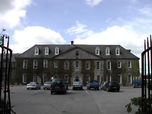 Celbridge Collegiate Schoolcharter school · 1332 yd
 St. Patricks ChapelChurch · 1351 yd
 Saint Patrick's BedArchaeological place · 1713 yd
 Oriental planeOriental plane · 1.1 mi
 Reeves CastleCastle · 1.2 mi
 John McLaughlinMemorial · 1.2 mi
 Arthur GuinessMemorial · 1.5 mi
 Common LimeCommon Lime · 1.6 mi
 The Steam MusemMuseum · 1.8 mi
 Battle of GlenmamaMajor battlefield · 1.8 mi