
What is recorded here
The following description is derived from both the published 'Archaeological Inventory of County Louth' (Dublin: Stationery Office, 1986) and the 'Archaeological Survey of County Louth' (Dublin: Stationery Office, 1991). In certain instances the entries have been revised and updated in the light of recent research.
Date of upload/revision: 17 July 2007
Fragmentary remains of small church which was completely levelled between 1966 and 1985. It was featureless in 1985 and defined only by heaps of rubble.
The monument record does not grant public access. Check the route and ask the landowner before entering private land.
- What survives
- Recorded monument
Places near here
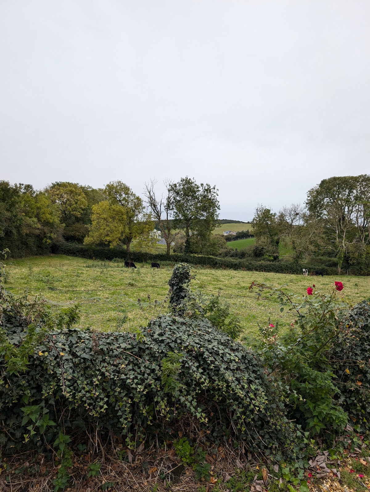 Enclosure in ToprassEnclosure · 584 yd
 Mass-rock in CarrickrobinMass-rock · 960 yd
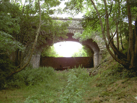 Tullagee Bridgebridge · 1692 yd
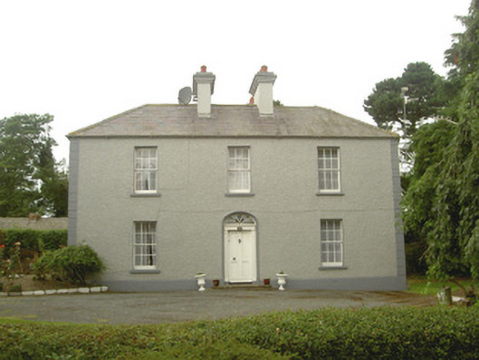 Tullagee Househouse · 1.2 mi
 Mount AshCastle, motte · 1.5 mi
 CastleCastle, unclassified · 1.7 mi
:no_upscale()/cdn.vox-cdn.com/uploads/chorus_asset/file/25593391/County_Louth_6th.jpg) LouthMountain / peak · 3.9 mi
LouthMountain / peak · 3.9 mi Sky HillMountain / peak · 4.2 mi
 Ballsmill Amenity LandPicnic place · 4.4 mi
 Photo GalleryHeritage attraction · 4.7 mi
 Dundalk CentralHeritage attraction · 4.7 mi
 Forkhill Greenspace PathwayWalking route · 6.1 mi
Other information
Photo: Credit not shown in the picture search · Rights wording not checked; contact us if this picture should be removed