What is recorded here
According to Power (1952, 408) there was a church site in Kilclooney at an unknown location close to the N-S main road (R 676). It remains unlocated.
Power, Rev. P. (1952) The placenames of the Decies. (second ed.) Cork University Press.
Compiiled by: Michael Moore. Date of upload: 2nd November, 2010.
The monument record does not grant public access. Check the route and ask the landowner before entering private land.
- What survives
- Recorded monument
Places near here
 Field boundary in KilclooneyField boundary · 739 yd
 Kilclooney WoodForest · 1000 yd
 IndicatedFairy fort / earthen ringfort · 1096 yd
 CoumshingaunMountain corrie and lake · 1256 yd
 StookanmeenMountain / peak · 1632 yd
 LackaduffMountain / peak · 1757 yd
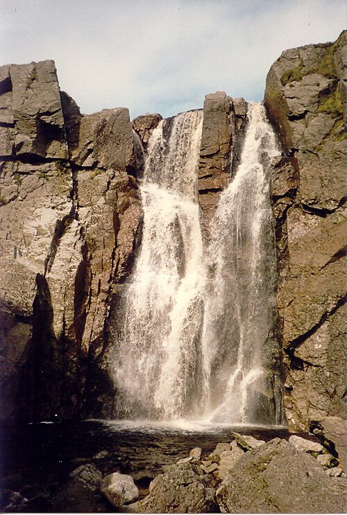 Mahon FallsWaterfall · 1.7 mi
 Mahon ValleyCliff · 1.8 mi
 Church in CoolnahornaChurch · 1.8 mi
 The Boolas Linear TrailWalking route · 2.0 mi
 Crough WoodWood · 2.3 mi
 Palliser MillRuins · 2.3 mi