What is recorded here
On the Down Survey barony map of Fassadining (1655-6) a church is drawn NE of Foulksrath Castle (KK010-056001-). Local tradition ascribes masonry foundations of two buildings (KK010-135----) c. 100m S of Foulksrath Castle, to being the remains of a church. As the date and function of these foundations are unknown, the church remains unlocated within the townland at present.
Compiled by: Jean Farrelly
Date of upload: 14 January 2019
The monument record does not grant public access. Check the route and ask the landowner before entering private land.
- What survives
- Recorded monument
Places near here
 Enclosure in Foulksrath (fassadinin By.)Enclosure · 348 yd
 Foulksrath CastleCastle, tower house · 418 yd
 IndicatedEnclosure · 598 yd
 Coolcraheen Church (in ruins)Church · 1414 yd
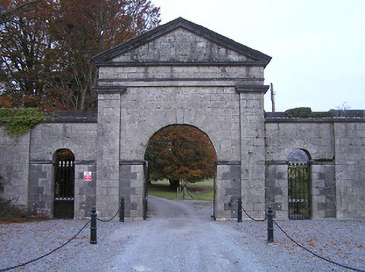 Swifte's Heathgates/railings/walls · 1.0 mi
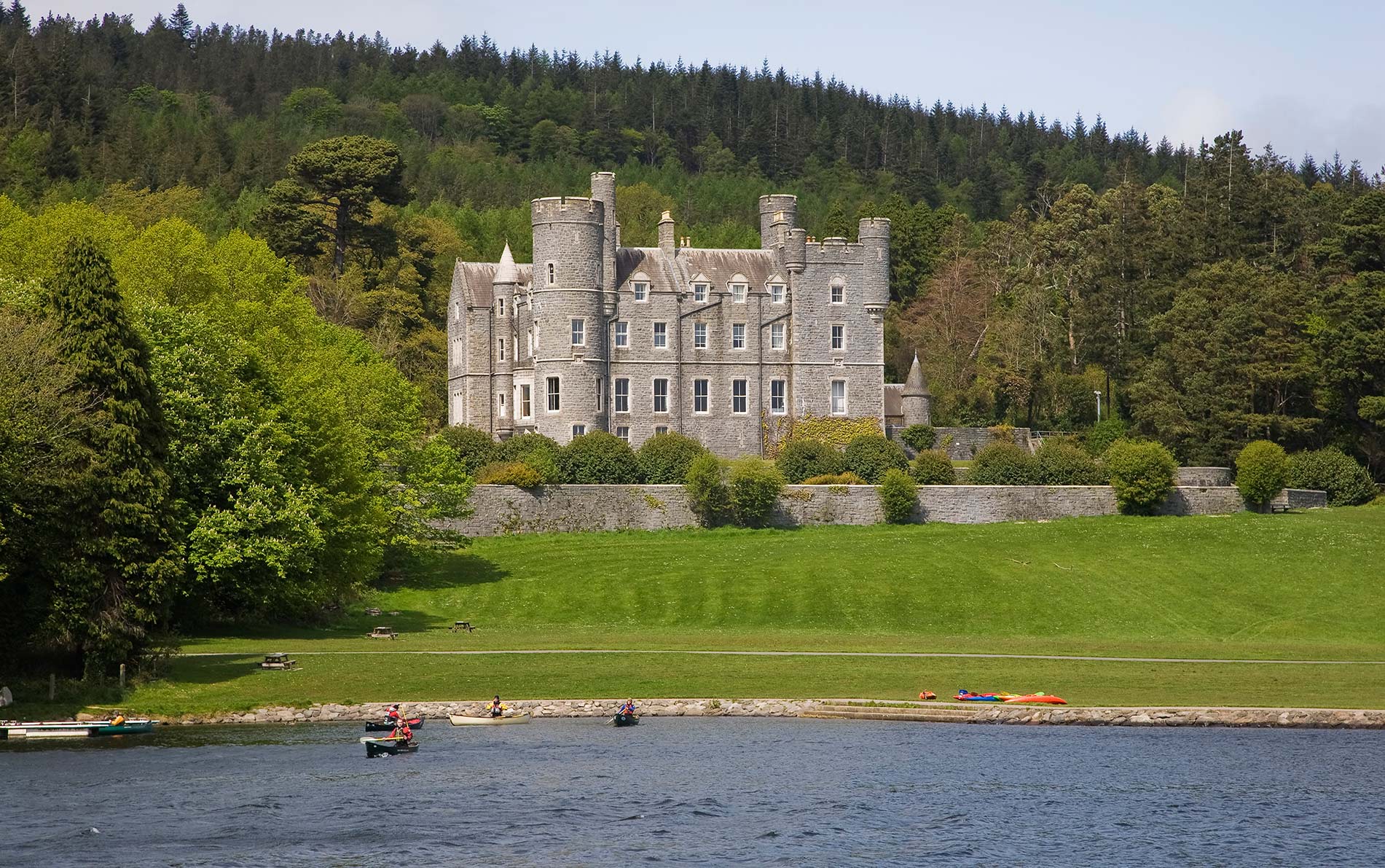 CastleCastle, unclassified · 1.1 mi
 Saint Coleman's WellSpring · 1.5 mi
 Jenkinstown ParkForest · 2.2 mi
 Donaghmore WellSpring · 2.2 mi
 Ballyrafton WoodWood · 2.5 mi
 Graveyard in ThreecastlesGraveyard · 2.7 mi
 Emma Jane Browne-ClaytonMemorial · 3.9 mi