What is recorded here
On the summit of a hillock, close to the NE extent of Edgeworthstown (LF015-063----). Possibly the site of an early foundation as the Annals of the Four Masters record the death of 'Forannan, Bishop of Meathas Truim' in 751 AD (AFM, vol. 1, 353). In 1410 Nemeas Offergail, an Augustininan canon of the priory of St Mary, Inishmore, was granted the priory and the rectory of ‘St Michael's Russach, alias of St Vadan's, Mascruym’ (Cal. papal letters, vol. 6, 236). Granted to Roger Atkinson in 1611 (Cal. pat. rolls Ire., Jas I, 214). A church is depicted on an early 17th-century map of Ardagh barony (BL, Cotton MS Augustus I.ii.25) and the terrier of the Down Survey map (1655-6) of Mastrim parish records that there was 'a Church on the Gleabe of this parrish' (NLI, MS 713). The precise location of the church has not been identified but it may have been located on or close to present church (C of I). This is an 18th-century church with 19th-century alterations.
Compiled by: Caimin O'Brien
Date of upload: 4 June 2013
The monument record does not grant public access. Check the route and ask the landowner before entering private land.
- What survives
- Recorded monument
Places near here
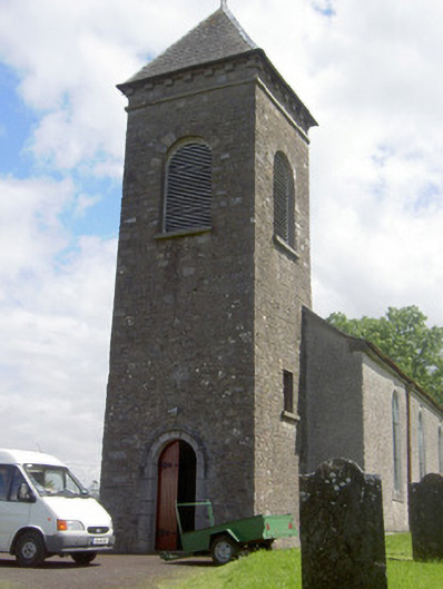 Saint John's Church (Mostrim)church/chapel · 4 yd
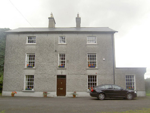 The Rectoryrectory/glebe/vicarage/curate's house · 97 yd
 Edgeworthstown BypassMemorial · 607 yd
 Burnt spread in TinnynarrBurnt spread · 1140 yd
 St. Barrys WellHoly well · 1444 yd
 MoatawardCastle, motte and bailey · 1479 yd
 CastleCastle, ringwork · 1.7 mi
 Oldtown DemesneForest · 3.6 mi
 Oldtown CopseWood · 3.6 mi
 Clonfin Ambush MemorialMemorial · 4.5 mi
 Granard MotteMotte-and-bailey castle remains · 6.9 mi
 1798 Monumentmonument · 7.0 mi