What is recorded here
According to Power (1952, 96) there was a field called Móinfhéar na Cille -the meadow of the church at D'Loughtane on the N side of the E-W road, but it is not known now.
Power, Rev. P. (1952) The placenames of the Decies. (second ed.) Cork University Press.
Compiled by: Michael Moore
Date of upload: 07 October 2011
The monument record does not grant public access. Check the route and ask the landowner before entering private land.
- What survives
- Recorded monument
Places near here
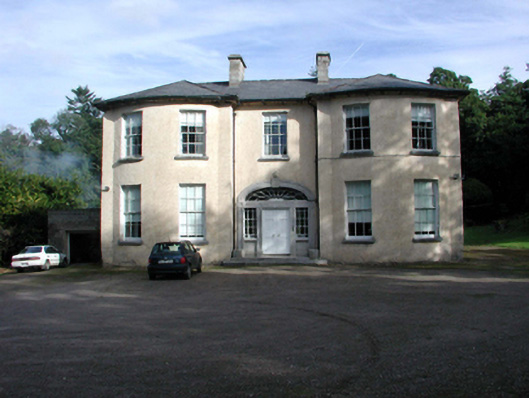 D'Loughtane Housecountry house · 404 yd
 D'Loughtane WoodForest · 716 yd
 Leacht in Kilmaloo East,kilmaloo OR Clashganny,kilmaloo WestLeacht · 1533 yd
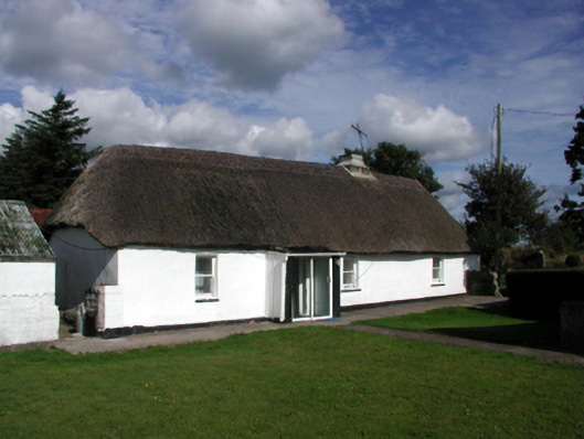 farm housefarm house · 1655 yd
 St Bridget's WellSpring · 1.0 mi
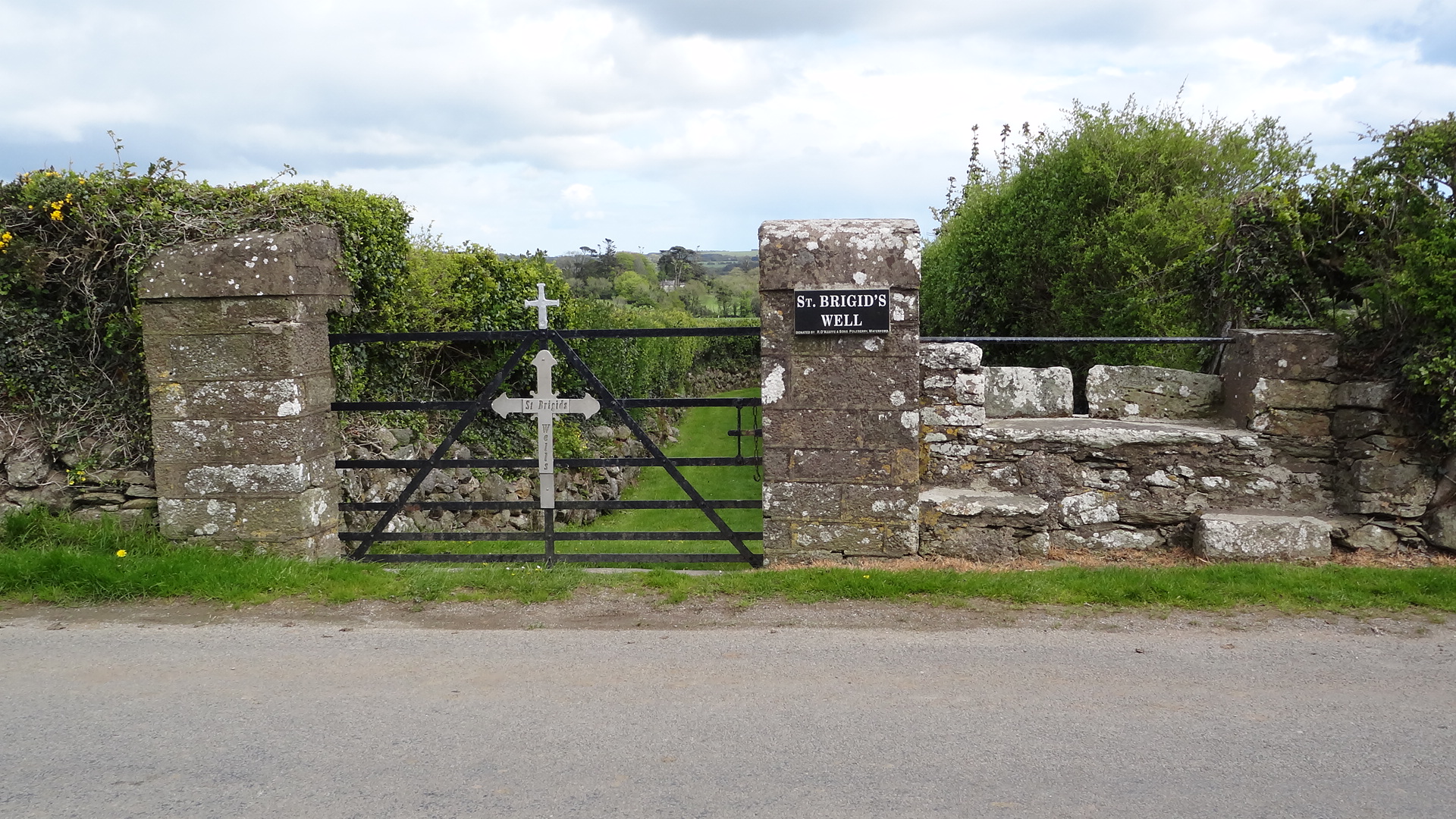 St. Bridgets WellHoly well · 1.0 mi
 Castle (in ruins)Castle, tower house · 1.1 mi
 Clashmore Heritage CentreHeritage attraction · 1.4 mi
 Ringcrew WoodForest · 1.5 mi
 Molana AbbeyHeritage attraction · 1.5 mi
 Templemichael Castle (in ruins)Castle, tower house · 1.5 mi
 Youghal Foxhole Loop walkWalking route · 2.4 mi