What is recorded here
A church is shown on the Down Survey Barony map (1656-1658) in Carrowkelly townland. It is indicated in the NE of the townland, on the S bank of the Rosserk River, which serves as the townland boundary. On the 1838 OS 6-inch map an area bordering the river mouth is named ‘Glebe’, indicating church lands. Earthworks (MA022-084----), low irregular banks and undulations, border the river bank, but the exact location of the church is unknown. There is a Holy Well (MA022-083001-) on the opposite, N bank of the river, and Rosserk Abbey (MA022-062001-) is located c. 400m to N.
Compiled by: Jane O'Shaughnessy
Date of upload: 17 November 2017
The monument record does not grant public access. Check the route and ask the landowner before entering private land.
- What survives
- Recorded monument
Places near here
 Rinphilip PointHeadland · 721 yd
 Castleconnor (in Ruins)Castle, hall-house · 862 yd
 Penitential station in RosserkPenitential station · 1115 yd
 HawthornHawthorn · 1119 yd
 Rosserk AbbeyHeritage attraction · 1445 yd
 IndicatedEnclosure · 1667 yd
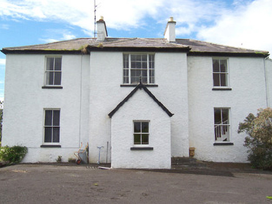 Moysdalerectory/glebe/vicarage/curate's house · 1.0 mi
 Enclosure in Inishdugh IslandEnclosure · 1.1 mi
 Rinnachurry PointHeadland · 1.6 mi
 FloretteWreck · 1.7 mi
 Belleek WoodsWood · 1.7 mi
 The Marshall Doran CollectionGallery · 1.8 mi