What is recorded here
On a low rise with good views to the NE, SE and S but limited elsewhere due to higher ground. The medieval church is not visible at ground level. According to the OS Letters (1839), ‘It is probable that the present Protestant Church, which may be fifty years old [built c. 1790], occupies the site of the ancient one’ (O’Flanagan ed. 1930, vol. 1, 235 (79)). The C of I church had itself been demolished by 1900 as it does not appear on the revised 6-inch OS map. Several medieval architectural fragments from the church have been reused in the graveyard (KK018-072002-) as grave-markers. A ‘small ancient cross' (KK022-008----) was identified c. 1km to the SE in the 1850s and it was suggested that it may have been the gable cross (KK018-072003-) of the medieval church (Anon. 1854-5, 343-4). There are four graveslabs (KK018-072004-; KK018-072005-; KK018-072006-; KK018-072007-) in the graveyard, which appear to be of 13th/14th-century date.
Compiled by: Jean Farrelly
Date of upload: 3 February 2021
The monument record does not grant public access. Check the route and ask the landowner before entering private land.
- What survives
- Recorded monument
Places near here
 Grave YardGraveyard · 4 yd
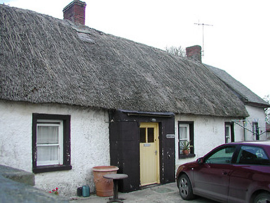 The Thatchhouse · 282 yd
 Enclosure in BallycallanEnclosure · 395 yd
 Saint Brigid's Catholic Churchchurch/chapel · 1026 yd
 Saint Brigid's WellSpring · 1405 yd
 Ballykeeffe Mass RockNamed rock · 1.1 mi
 Ballykeefe WoodForest · 1.4 mi
 Ballykeefe QuarryCliff · 1.7 mi
 Ballykeefe AmphitheatreHeritage attraction · 1.7 mi
 Castle (in ruins)Castle, unclassified · 1.8 mi
 Millennium WoodWood · 1.8 mi
 CastleCastle, unclassified · 2.1 mi