What is recorded here
Killyann Church and its graveyard occupy a forgotten corner of County Antrim, preserving a medieval sacred landscape now reduced to memory and soil. The exact age remains uncertain, but the medieval label suggests worship and burial continued long before modern borders or maps existed. People may have prayed there, buried their dead there, and walked home through fields that no longer remember the shape of the building. What is certain is that the site still belongs to the land, holding a loss of evidence that feels like a living absence.
The official Northern Ireland record identifies this as CHURCH & GRAVEYARD (site of): KILLYANN CHURCH. Recorded period: UNCERTAIN; MED/L.MED. The official map point was placed at the centre of the recorded archaeological site from the source map reference.
The monument record does not grant public access. Check the route and ask the landowner before entering private land.
- What survives
- Recorded monument
Places near here
 RECTANGULAR ENCLOSURE: DUNROCK in Middle DivisionRECTANGULAR ENCLOSURE: DUNROCK · 161 yd
 A.P. SITEA.P. SITE, circular enclosure · 547 yd
 North Carn ForestForest · 1.4 mi
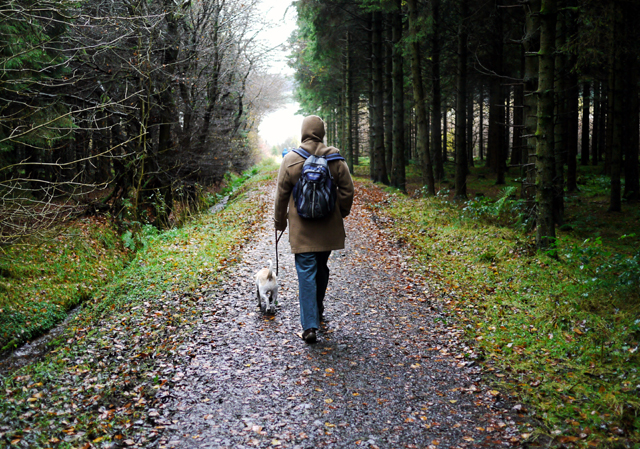 Woodburn ForestForest · 1.5 mi
 US RangersMemorial · 2.1 mi
 Carrickfergus Railway StationRailway Station Structures · 2.1 mi
 Siege of Carrickfergussiege · 2.2 mi
 First Presbyterian ChurchChurch · 2.2 mi
 O'Haughan's CaveCave · 2.2 mi
 MEDIEVAL PARISH CHURCH, POST-MED. & MODERN CHURCH & GRAVEYARD: ST NICHOLAS' CHURCH, ST NICHOLAS OF CRAGFERGUS in CarrickfergusMEDIEVAL PARISH CHURCH, POST-MED. & MODERN CHURCH & GRAVEYARD: ST NICHOLAS' CHURCH, ST NICHOLAS OF CRAGFERGUS · 2.3 mi
 Carrickfergus MuseumMuseum · 2.3 mi
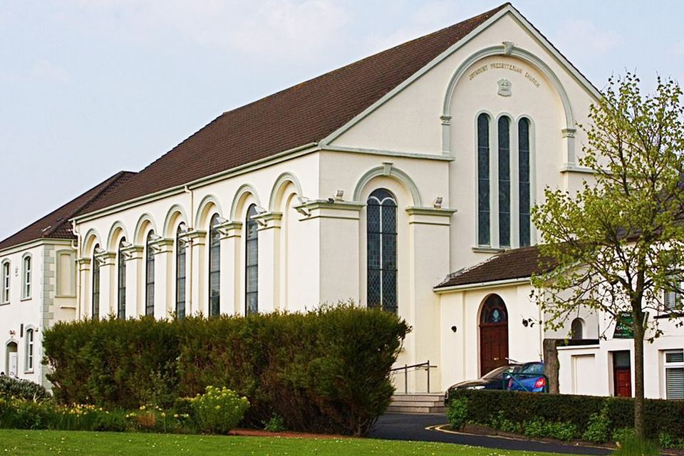 FORTIFIED HOUSE built on FRANCISCAN FRIARY: JOYMOUNT in CarrickfergusFORTIFIED HOUSE built on FRANCISCAN FRIARY: JOYMOUNT · 2.3 mi