What is recorded here
Childrens Burial Ground occupies eighteen and a half metres of undulating grassland beside the Raford River. Small limestone blocks still mark rows of east-west graves, preserving the shapes of tiny bodies long forgotten. The western bank has suffered digging, yet the interior alignment survives to remind us that childhood loss belongs even in remote Galway fields.
In undulating grassland, c. 80m S of the Raford River. A rectangular area (E-W 18.5m, E-W 13.5m) defined by a poorly preserved bank damaged at W and N by digging. Small set limestone blocks in the interior are aligned in N-S rows, indicating graves oriented E-W.
The above description is derived from the published 'Archaeological Inventory of County Galway Vol. II - North Galway'. Compiled by Olive Alcock, Kathy de hÓra and Paul Gosling (Dublin: Stationery Office, 1999).
Date of upload: 05 August 2010
The monument record does not grant public access. Check the route and ask the landowner before entering private land.
- What survives
- Recorded monument
Places near here
 ToberdoneyHoly well · 1750 yd
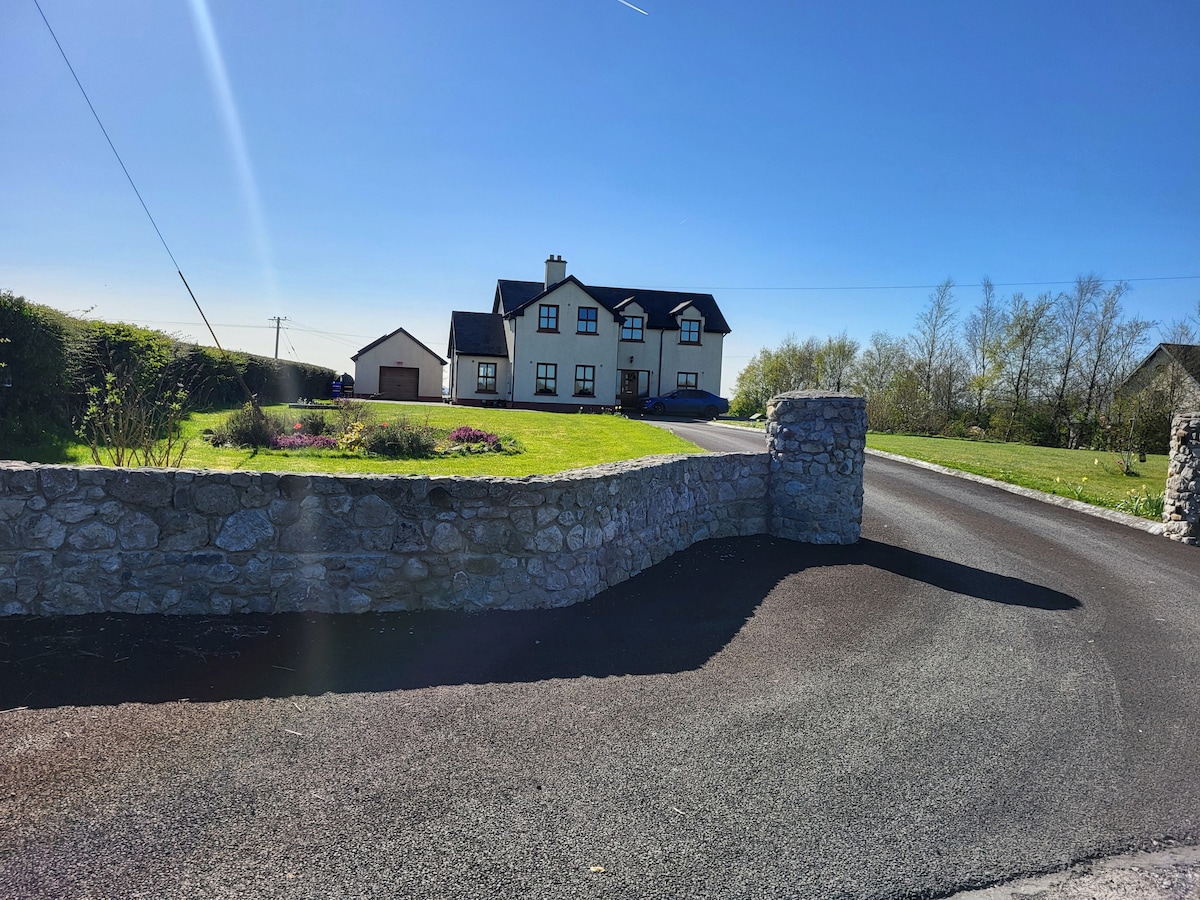 IndicatedChurch · 1.2 mi
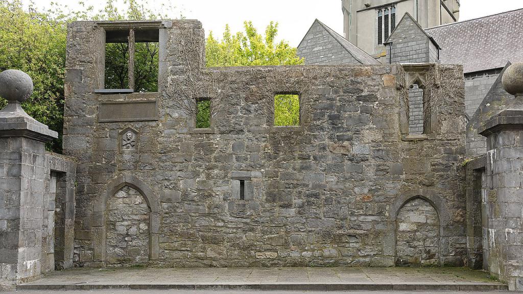 Ecclesiastical enclosure in KillescraghEcclesiastical enclosure · 1.3 mi
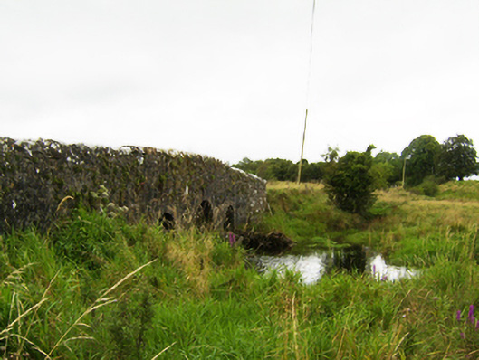 Beech Hill Bridgebridge · 1.5 mi
 Galboley Castle (in ruins)Castle, unclassified · 2.7 mi
 Turoe StoneHeritage attraction · 2.8 mi
 Woodlawn WoodsForest · 3.1 mi
 European Crab AppleEuropean Crab Apple · 3.4 mi
 Site of Lisnamoltaun CastleCastle, unclassified · 3.5 mi
 Dartfield Horse MuseumHeritage attraction · 5.1 mi
 Battle of Aughrim Interpretative CentreMuseum · 8.9 mi
 Battle of AughrimMajor battlefield · 9.1 mi