What is recorded here
Some 80m to the NW of a rath (GA123-092----). This children's burial ground is marked on the OS 6-inch maps as a rectangular unenclosed area (c. 20m NW-SE; c. 15m E-W). An arc of loose stones from NW to NNE may indicate its N extent. Within it one/two possible grave-markers are visible.
Compiled by: Galway Archaeological Survey, UCG
Date of upload: 3 September 2019
The monument record does not grant public access. Check the route and ask the landowner before entering private land.
- What survives
- Recorded monument
Places near here
 EnclosureEnclosure, large enclosure · 351 yd
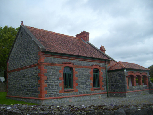 Kiltartan Gregory Museumschool · 1147 yd
 Man-made underground passage in Castletown (kiltartan By.)Man-made underground passage · 1276 yd
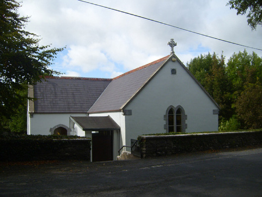 Saint Attracta's Catholic Churchchurch/chapel · 1380 yd
 European ashEuropean ash · 1464 yd
 HawthornHawthorn · 1513 yd
 Kiltartan Castle (in ruins)Castle, Anglo-Norman masonry castle · 1586 yd
 Ballylee CastleCastle, tower house · 1.1 mi
 Drumharsna CastleHeritage attraction · 3.3 mi
 Castle IslandIsland · 4.5 mi
 Holly IslandIslet · 4.6 mi
 Kilmacduagh Monastic SiteVisitor information · 5.2 mi