What is recorded here
Childrens Burial Ground lies immediately south of a church in County Galway, marked on a 1946 map but now without visible surface trace. Local tradition claims a burial happened there about 150 years ago and that Lieut.-General St Ruth was first laid to rest here before moving to Loughrea. The absence of marks does not erase the purpose; it invites imagination about which child, which family, and which grief shaped that quiet ground.
Immediately S of a church (GA087-126002-). Marked on 3rd ed. of OS 6-inch map (1946) as a CBG. According to local tradition, a burial took place here c. 150 years ago. There is also a tradition that Lieut.-General St Ruth was initially buried here (see GA087-125----) before being reinterred at the Carmelite priory in Loughrea. No visible surface trace survives.(O'Flanagan 1927, Vol. 1, 225)
The above description is derived from the published 'Archaeological Inventory of County Galway Vol. II - North Galway'. Compiled by Olive Alcock, Kathy de hÓra and Paul Gosling (Dublin: Stationery Office, 1999).
Date of upload: 05 August 2010
The monument record does not grant public access. Check the route and ask the landowner before entering private land.
- What survives
- Recorded monument
Places near here
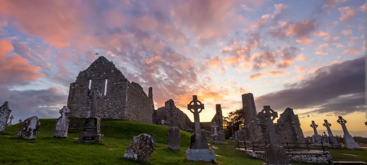 Site of Kilcommadan ChurchChurch · 10 yd
 St. Commadans Holy WellHoly well · 323 yd
 Battle of AughrimMajor battlefield · 1037 yd
 The bloody HollowHeritage attraction · 1128 yd
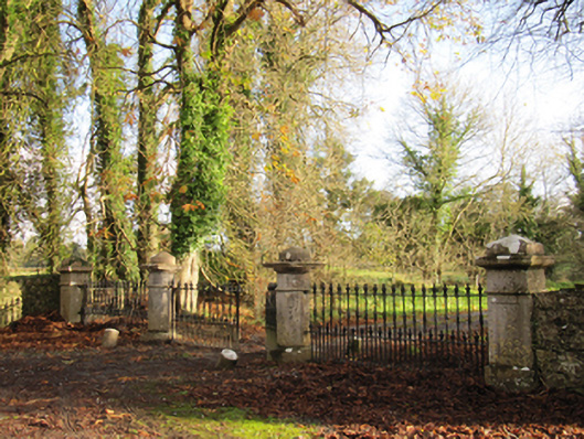 Liskelly Housedemesne walls/gates/railings · 1166 yd
 Battle of Aughrim Interpretative CentreMuseum · 1.1 mi
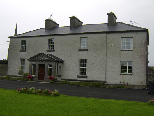 The Rectoryrectory/glebe/vicarage/curate's house · 1.2 mi
 Castle (Site of)Castle, Anglo-Norman masonry castle · 1.3 mi
 Urraghry HillMountain / peak · 1.7 mi
 Ballagh Castle (in Ruins)Castle, unclassified · 2.0 mi
 Oak WoodWood · 2.0 mi
 West WoodWood · 3.0 mi