
What is recorded here
Shown on 1842 OS 6-inch map as circular area defined by broken line and named 'Old Grave Yard'; shown on 1904 and 1937 OS 6-inch maps as hachured circular area and named 'Children's Burial Ground'. In pasture, on S-facing slope. Circular area (41.5m N-S; 39.5m E-W) enclosed by earthen bank (max. int. H 1.1m) with shallow external fosse (max. D 0.7m). Interior under silage and sloping down to S; two low stones (H c. 0.2m; 0.35m x 0.16m) noted. Bowman (1934, 474) also noted possible remains of church (14486) as well as on S side 'many headstones c. 9ins high...a large mound of stones...a depression 20ft by 16 by c. 3ft deep.' No surface evidence for any of these now.
The above description is derived from the published 'Archaeological Inventory of County Cork. Volume 4: North Cork' (Dublin: Stationery Office, 2000). In certain instances the entries have been revised and updated in the light of recent research.
Date of upload/revision: 14 January 2009
The monument record does not grant public access. Check the route and ask the landowner before entering private land.
- What survives
- Recorded monument
Places near here
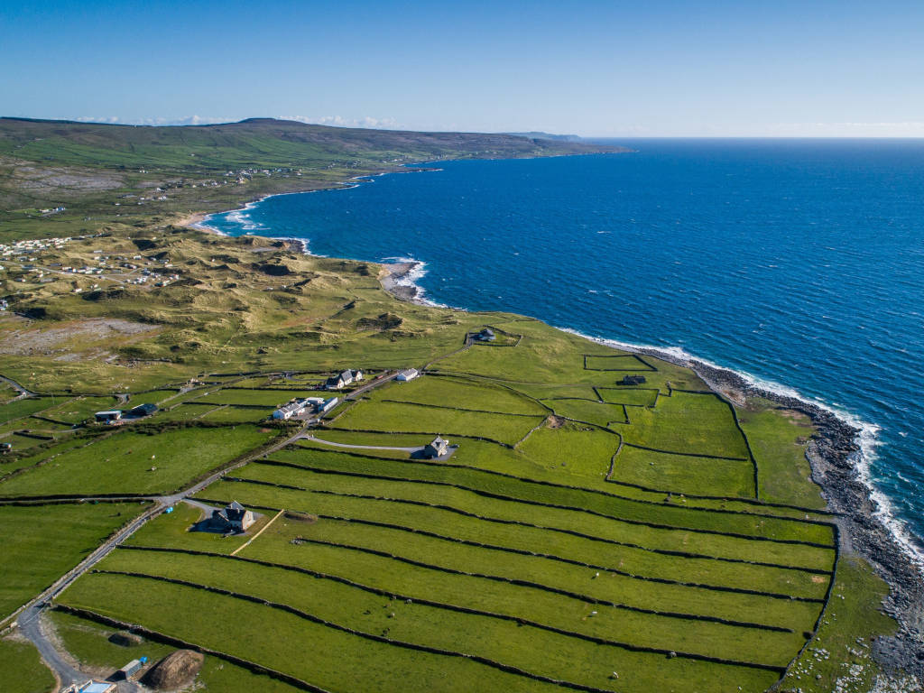 Fulacht fia in Kilnahulla MoreFulacht fia · 1015 yd
 Enclosure in KnocknacurraghEnclosure · 1191 yd
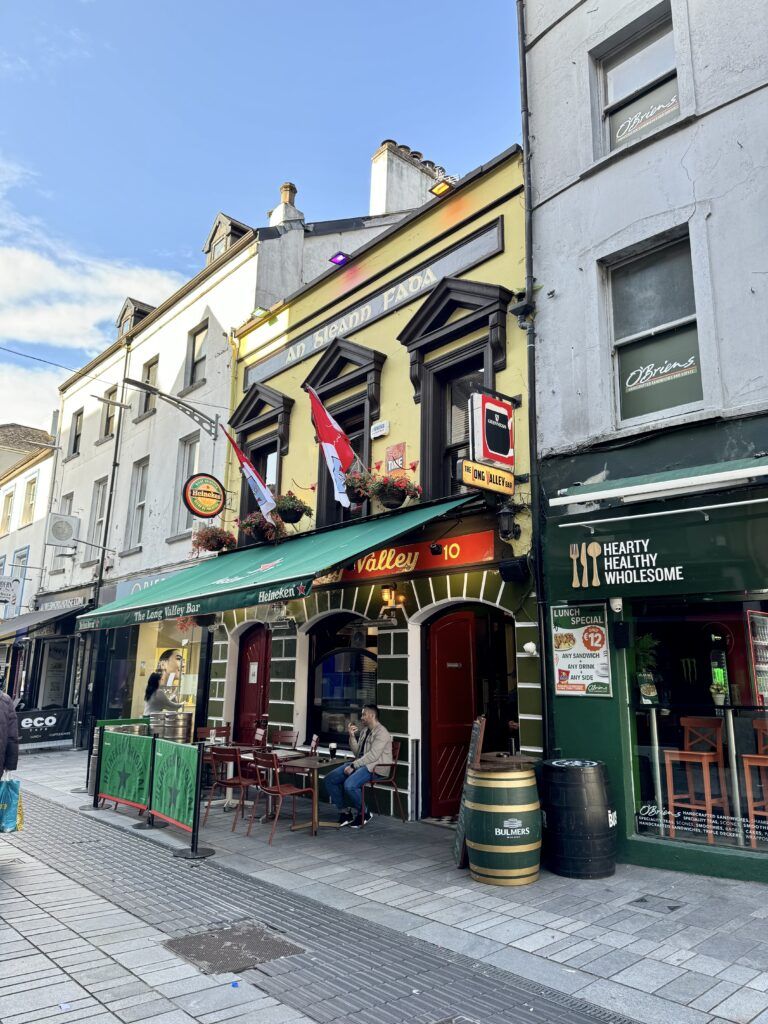 IndicatedHouse, vernacular house · 1384 yd
 Clashykinleen Bridgebridge · 2.6 mi
 Castle McAuliffe (Site of)Castle, unclassified · 3.2 mi
 Drominagh Castle (Site of)Castle, unclassified · 3.8 mi
 TaurMountain / peak · 5.0 mi
 Nohaval WoodWood · 7.4 mi
 Kanturk CastleHeritage attraction · 7.6 mi
 Doctor's HillMountain / peak · 8.2 mi
 RowanRowan · 8.6 mi
 St Fursey's WellSpring · 9.2 mi
Other information
Photo: Credit not shown in the picture search · Rights wording not checked; contact us if this picture should be removed