What is recorded here
At S end of a hillock in grassland. An unenclosed rectangular area (N-S 15.3m, E-W 12m) within which numerous small set limestone slabs are visible, aligned N-S.
The above description is derived from the published 'Archaeological Inventory of County Galway Vol. II - North Galway'. Compiled by Olive Alcock, Kathy de hÓra and Paul Gosling (Dublin: Stationery Office, 1999).
Date of upload: 05 August 2010
A local ancient tomb; wider significance not recorded.
The monument record does not grant public access. Check the route and ask the landowner before entering private land.
- What survives
- Recorded monument
Places near here
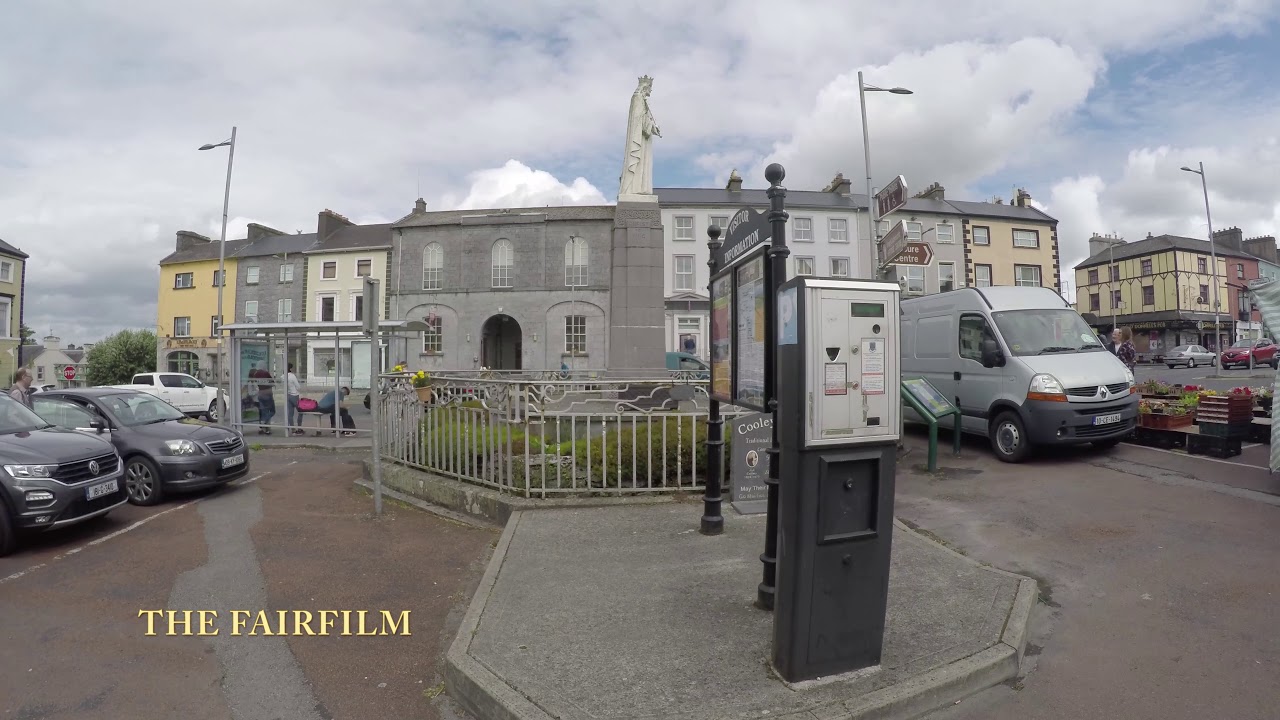 Enclosure in Gortnalone NorthEnclosure · 295 yd
 Enclosure in Gortnalone SouthEnclosure · 691 yd
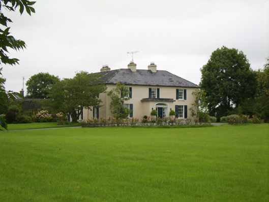 Attymon Househouse · 1471 yd
 Saint Enda's National Schoolschool · 1521 yd
 Tiaquin Castle (Site of)Castle, unclassified · 2.9 mi
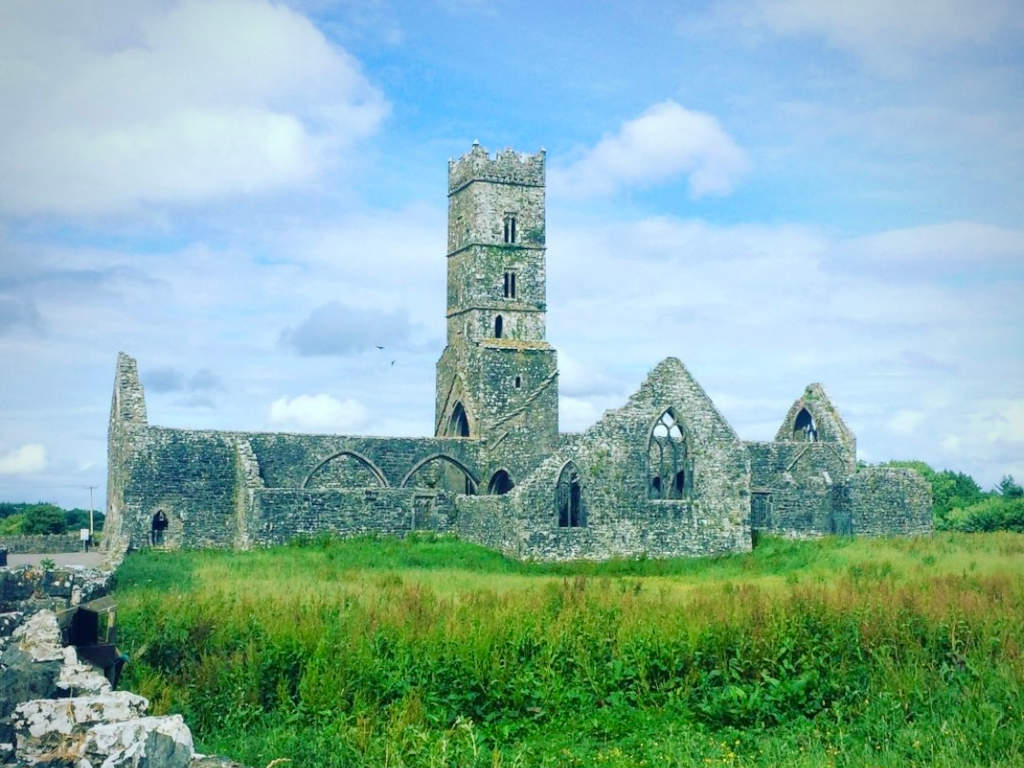 Cloonbrusk Castle (in ruins)Castle, unclassified · 3.4 mi
 Woodlawn WoodsForest · 4.4 mi
 European Crab AppleEuropean Crab Apple · 4.7 mi
 Menlough IRAMemorial · 6.1 mi
 Kilconnell AbbeyHeritage attraction · 8.3 mi
 Knockmoy AbbeyHeritage attraction · 9.3 mi
 Barrack IslandIslet · 9.6 mi