What is recorded here
There is no evidence that children died in that place, or that it was a burial ground at all. The claim rests on a map label, a vague shape in the ground, and an unsupported memory.
Within a possible ecclesiastical enclosure (GA097-110001-). Indicated on the 1933 edition of the OS 6-inch map as a small unenclosed subrectangular area in the SE quadrant of the enclosure. No visible surface trace of the site survives here. However, a raised rectangular area (c. 20m N-S; c. 15m E-W) to the W of this location may mark its site. No grave-markers are visible. According to the landowner the last burial took place around 1900.
Compiled by: Galway Archaeological Survey, UCG
Date of upload: 2 September 2019
A disused burial ground possibly dating to the early Christian period, associated with a former ecclesiastical site; its significance lies in its potential connection to local monastic or community traditions.
The monument record does not grant public access. Check the route and ask the landowner before entering private land.
- What survives
- Recorded monument
Places near here
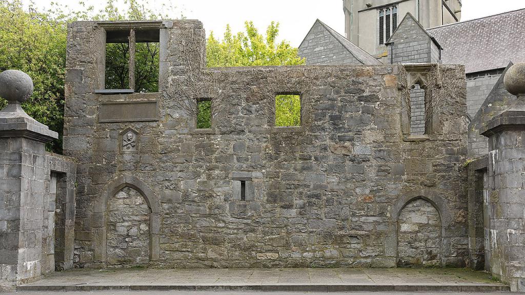 Ecclesiastical enclosure in KillescraghEcclesiastical enclosure · 19 yd
 ToberdoneyHoly well · 1.1 mi
 BenmoreHouse, 18th/19th century · 1.1 mi
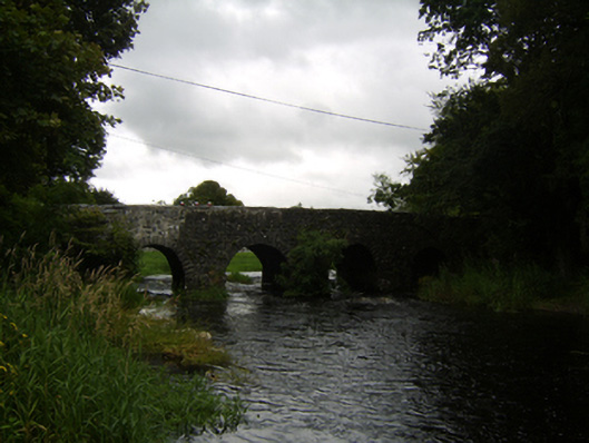 Raford Bridgebridge · 1.4 mi
 Galboley Castle (in ruins)Castle, unclassified · 1.6 mi
 Turoe StoneHeritage attraction · 1.8 mi
 Bawn in Cahernamuck WestBawn · 3.8 mi
 Woodlawn WoodsForest · 4.3 mi
 European Crab AppleEuropean Crab Apple · 4.7 mi
 Dartfield Horse MuseumHeritage attraction · 4.9 mi
 Barrack IslandIslet · 5.7 mi
 Middle IslandIslet · 5.7 mi