What is recorded here
On the S-face, just off the crest, of a low narrow, E-W pasture ridge. A shallow sub-circular hollow (7m N-S; 5m E-W; D 08-1m), open towards the S, contains some half-dozen low, largely earthfast, unworked, field stones (av. max L 0.5m; Wth 0.4m; H 0.2m) marking burials. Smaller field-cleared stones have been thrown into the site. In 2002, archaeological testing (Excavation licence no. 02E0301 Online www.excavations.ie Accessed 08 August 2012) in advance of construction of the M7 Heath–Mayfield Motorway Scheme revealed the disarticulated remains of an infant, confirming the presence of a children’s burial-ground. Subsequent geo-physical survey and excavation in 2003, (Excavation licence nos. 03E0184 and 03E0350 Online www.excavations.ie Accessed 08 August 2012) revealed the remains of some 70 child inhumations, with the volume of burial activity having caused multiple truncations to the remains. Finds included shroud pins, coffin nails and organic materials.
Compiled by: Gearóid Conroy
Date of upload: 23 August 2012
The monument record does not grant public access. Check the route and ask the landowner before entering private land.
- What survives
- Recorded monument
Places near here
 Moore Abbey WoodWood · 1254 yd
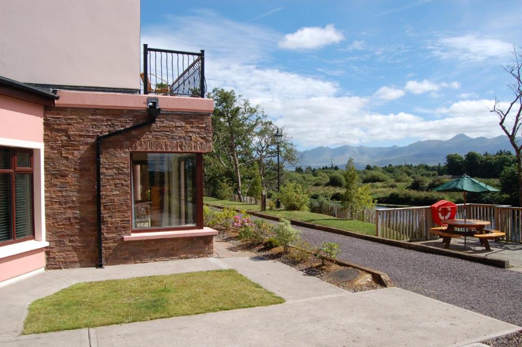 Lodge GroveWood · 1361 yd
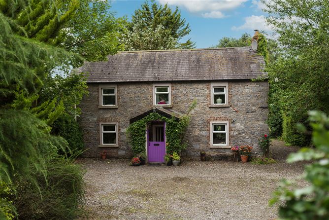 Enclosure in Monasterevin BogEnclosure · 1446 yd
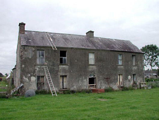 Clonegath Housefarm house · 1590 yd
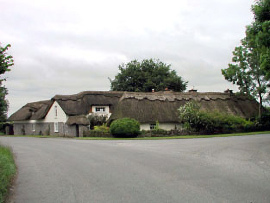 The Thatched Cottagehouse · 1.0 mi
 IndicatedHoly well · 1.1 mi
 Bawn in Lackagh BegBawn · 2.9 mi
 CastleCastle, unclassified · 4.4 mi
 Bithia Mary CrokerMemorial · 6.4 mi
 Bog Lake WalkWalking route · 6.9 mi
 Derryounce Walk (Yellow Loop)Walking route · 7.1 mi
 The Fairy BowerHeritage attraction · 10 mi