What is recorded here
Childrens Burial Ground is a low grassy mound in County Galway, marked on early maps but erased by the 1940s. Set stones still break the surface in east-west lines, suggesting graves for small bodies rather than adults. St. Patrick’s Stone lies 240m east, tying the forgotten field to a wider landscape of memory. The children are not named, but the shape of the mound and the alignment of its stones preserve the fact that they were buried together.
In gently undulating grassland. Marked and named on 1st ed. of OS 6-inch map but absent from 3rd ed. (1946-7). A poorly preserved CBG consisting of a low grassy mound (E-W 24m, N-S 13m, H 1.2m) on which a number of set stones are visible, indicating graves oriented E-W. The site of 'St. Patrick's Stone' (GA087-186----) lies 240m to E.
The above description is derived from the published 'Archaeological Inventory of County Galway Vol. II - North Galway'. Compiled by Olive Alcock, Kathy de hÓra and Paul Gosling (Dublin: Stationery Office, 1999).
Date of upload: 05 August 2010
The monument record does not grant public access. Check the route and ask the landowner before entering private land.
- What survives
- Recorded monument
Places near here
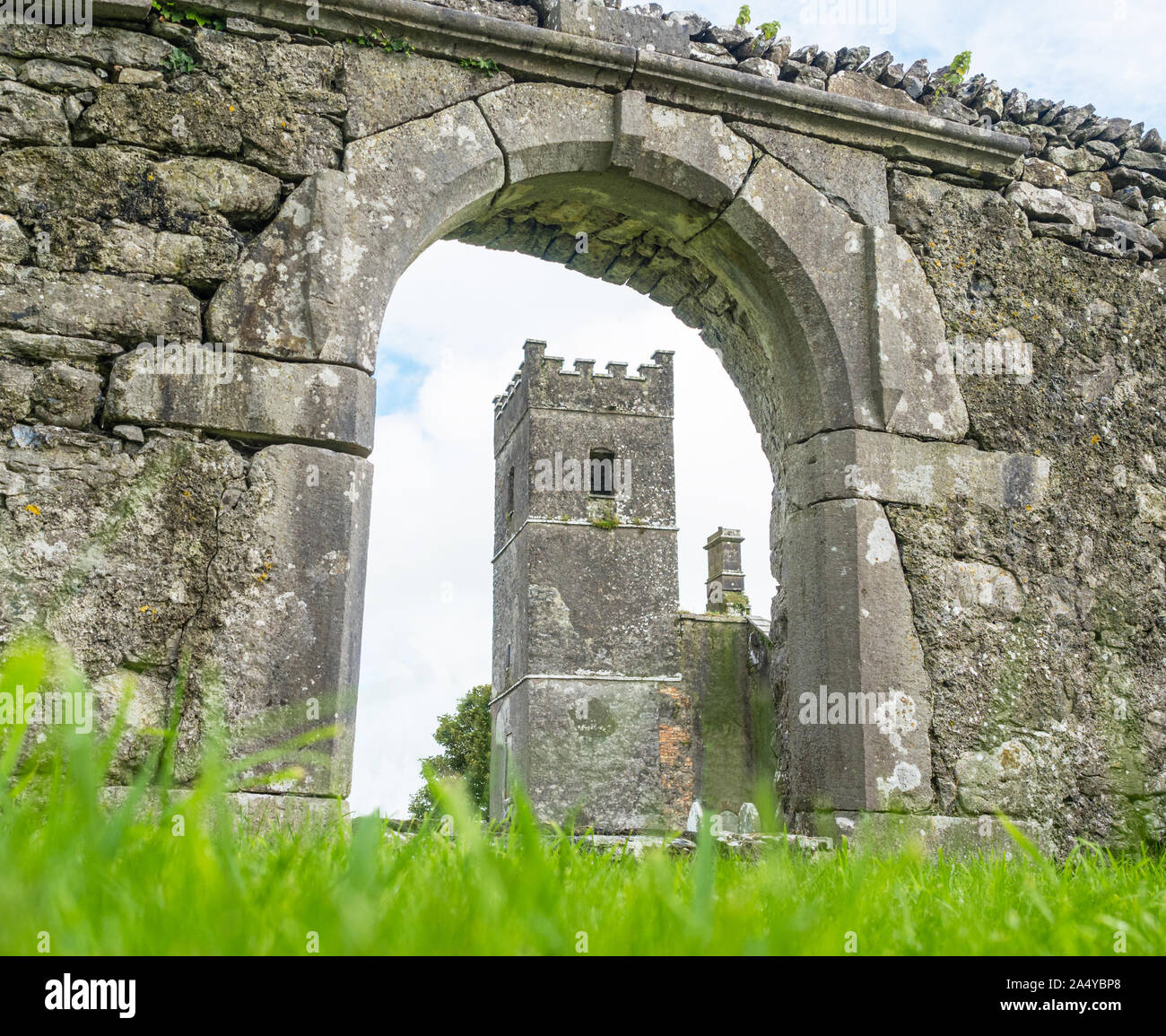 St. Patricks Stone (Site of)Ritual site, holy/saint's stone · 244 yd
 IndicatedEnclosure · 736 yd
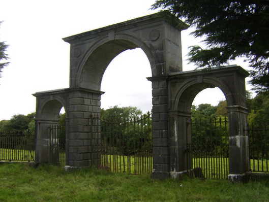 Northbrook Housegates/railings/walls · 1745 yd
 Oak WoodWood · 1.2 mi
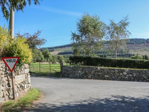 Fairfield Ho.House, 18th/19th century · 1.4 mi
 Battle of Aughrim Interpretative CentreMuseum · 1.9 mi
 Castle (Site of)Castle, Anglo-Norman masonry castle · 1.9 mi
 Kilconnell AbbeyHeritage attraction · 2.2 mi
 Battle of AughrimMajor battlefield · 2.3 mi
 The bloody HollowHeritage attraction · 2.6 mi
 Site of Cloonigny CastleCastle, unclassified · 3.1 mi
 Urraghry HillMountain / peak · 3.4 mi