What is recorded here
Children's Burial Ground (KE079-056----): Beginish Island lies between Valencia Island and the mainland at the N end of Valencia Harbour. It rises gradually from the more fertile SE portion to cliffs at its NW end. This small ecclesiastical site is located about 200m NW of Cruppaun Point, on the S shore of the island, some 900m SW of the settlement complex excavated by O'Kelly (1132). It comprises the remains of a small oratory, a hut, and a low rectangular enclosure which contains a leacht and a cross-slab. The burial ground is depicted on the second edition of the OS map as an L-shaped area, located at the N end of a field which is open to the sea at S. There is no apparent trace of an enclosure around the site.
The above description is derived from A. O'Sullivan and J. Sheehan (compilers), 'The Iveragh peninsula: an archaeological survey of South Kerry'. Cork University Press (1996), no. 932. In certain instances the entries have been revised and updated in the light of recent research.
Date of upload: 30 July 2013
The monument record does not grant public access. Check the route and ask the landowner before entering private land.
- What survives
- Recorded monument
Places near here
 Church in Beginish (iveragh By.)Church · 11 yd
 Beginish IslandIsland · 311 yd
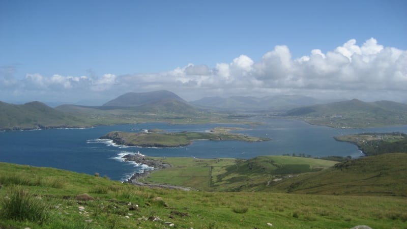 Enclosure in Beginish (iveragh By.)Enclosure · 364 yd
 Field system in Beginish (iveragh By.)Field system · 759 yd
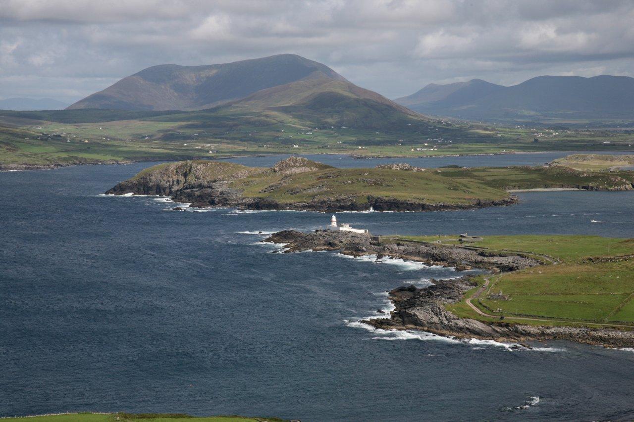 Valentia Front Leading LightLighthouse · 1115 yd
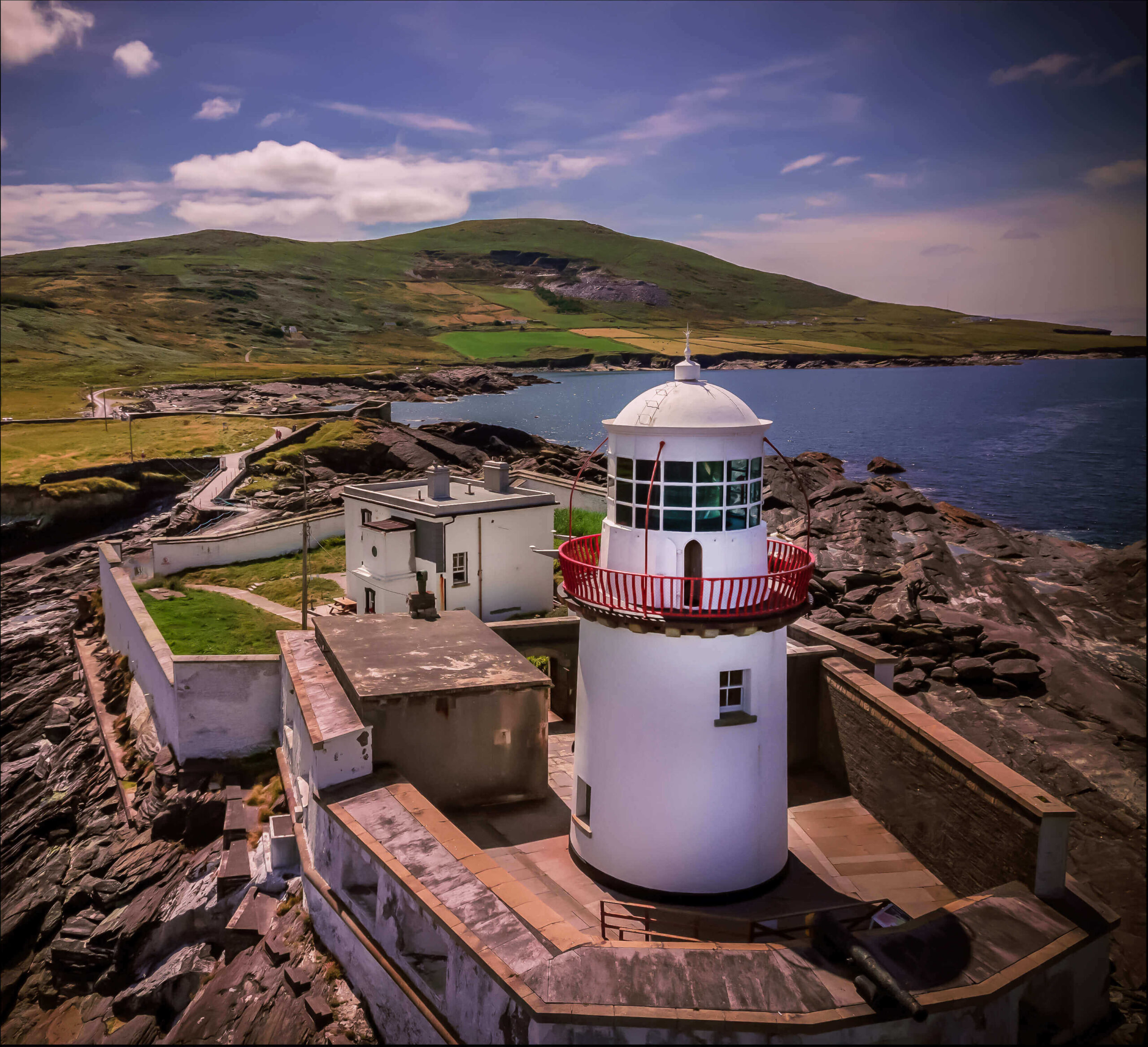 Valentia Island LighthouseMuseum · 1441 yd
 Cromwell PointHeadland · 1454 yd
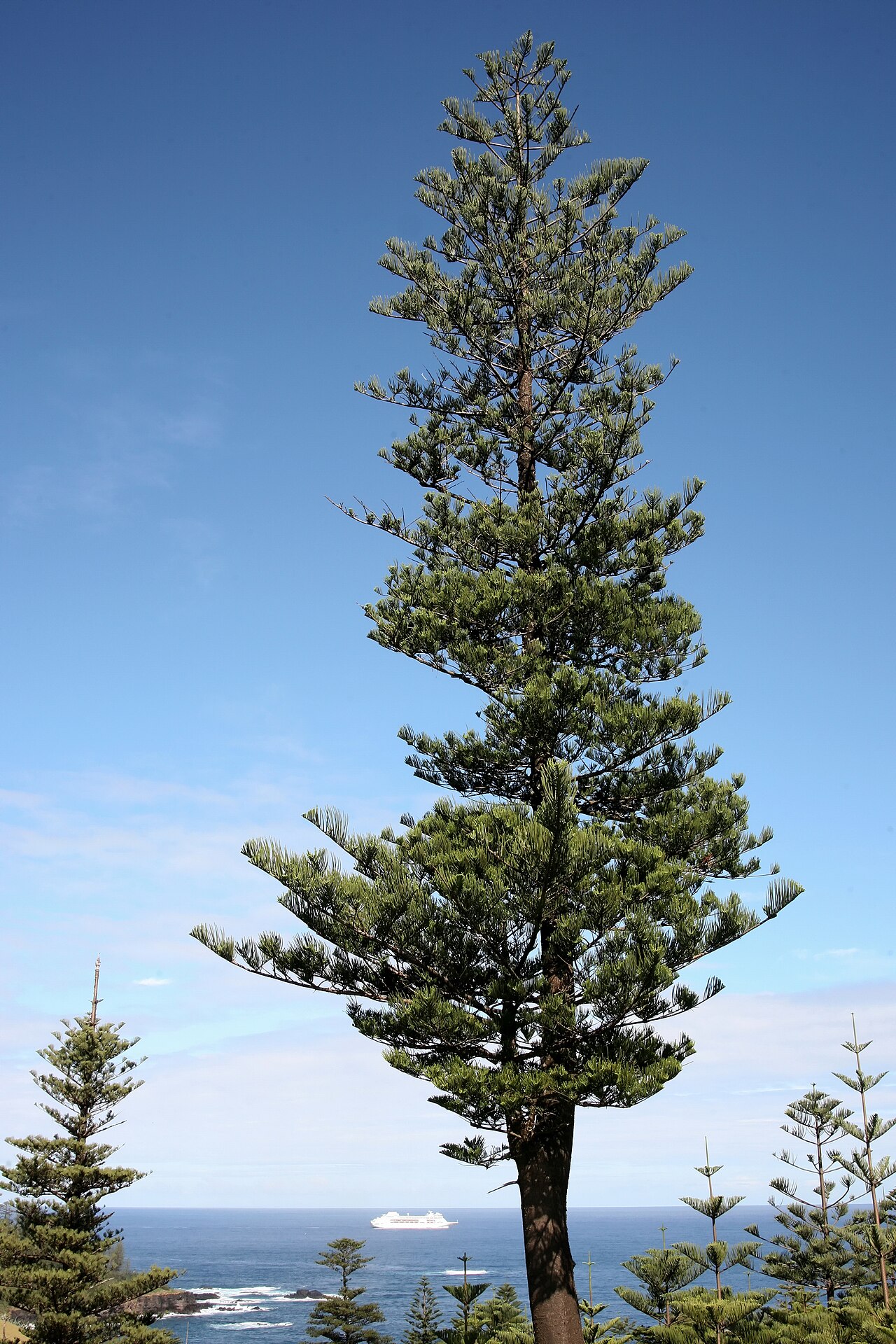 Norfolk Island AraucariaNorfolk Island Araucaria · 1568 yd
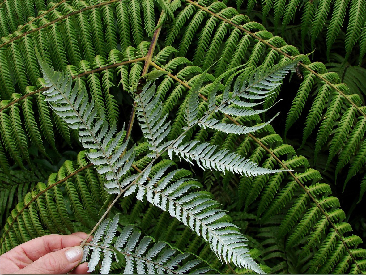 Silver tree fernSilver tree fern · 1568 yd
 Kilbeg MountainMountain / peak · 1.1 mi
 White Strand BeachBeach / strand · 1.3 mi
 Killelan MountainMountain / peak · 1.6 mi