
What is recorded here
No boy or girl should touch that pasture. The childrens burial gd (disused) is gone, but the prohibition still applies because the edge of the county is thin there. Drop a marble, leave a coin, or walk past. Do not dig, laugh, or teach the land to forget the difference between living and dead.
Marked 'Children's Burial Ground' on OS 6-inch map (1842). In pasture. Subcircular area (16m N-S; 14m E-W) partially enclosed by low stone wall. No gravemarkers noted.
The above description is derived from the published 'Archaeological Inventory of County Cork. Volume 1: West Cork' (Dublin: Stationery Office, 1992). In certain instances the entries have been revised and updated in the light of recent research.
Date of upload/revision: 14 January 2009
The monument record does not grant public access. Check the route and ask the landowner before entering private land.
- What survives
- Recorded monument
Places near here
 Tober an IarainnSpring · 415 yd
 West Cork Quad AdventuresHeritage attraction · 1536 yd
 Hut site in FahouraghHut site · 1628 yd
 Liss Ardgate lodge · 1712 yd
 Lettertinlish Castle (Ruins)Castle · 1751 yd
 Russagh Corn Mill (Disused )Mill, corn · 1.1 mi
 The Lios FieldArchaeological place · 1.1 mi
 Suí FinnMountain / peak · 1.3 mi
 Carraig a' ShleáinMountain / peak · 1.5 mi
 Irish Sky GardenHeritage attraction · 1.5 mi
 Site of CastleCastle, unclassified · 1.6 mi
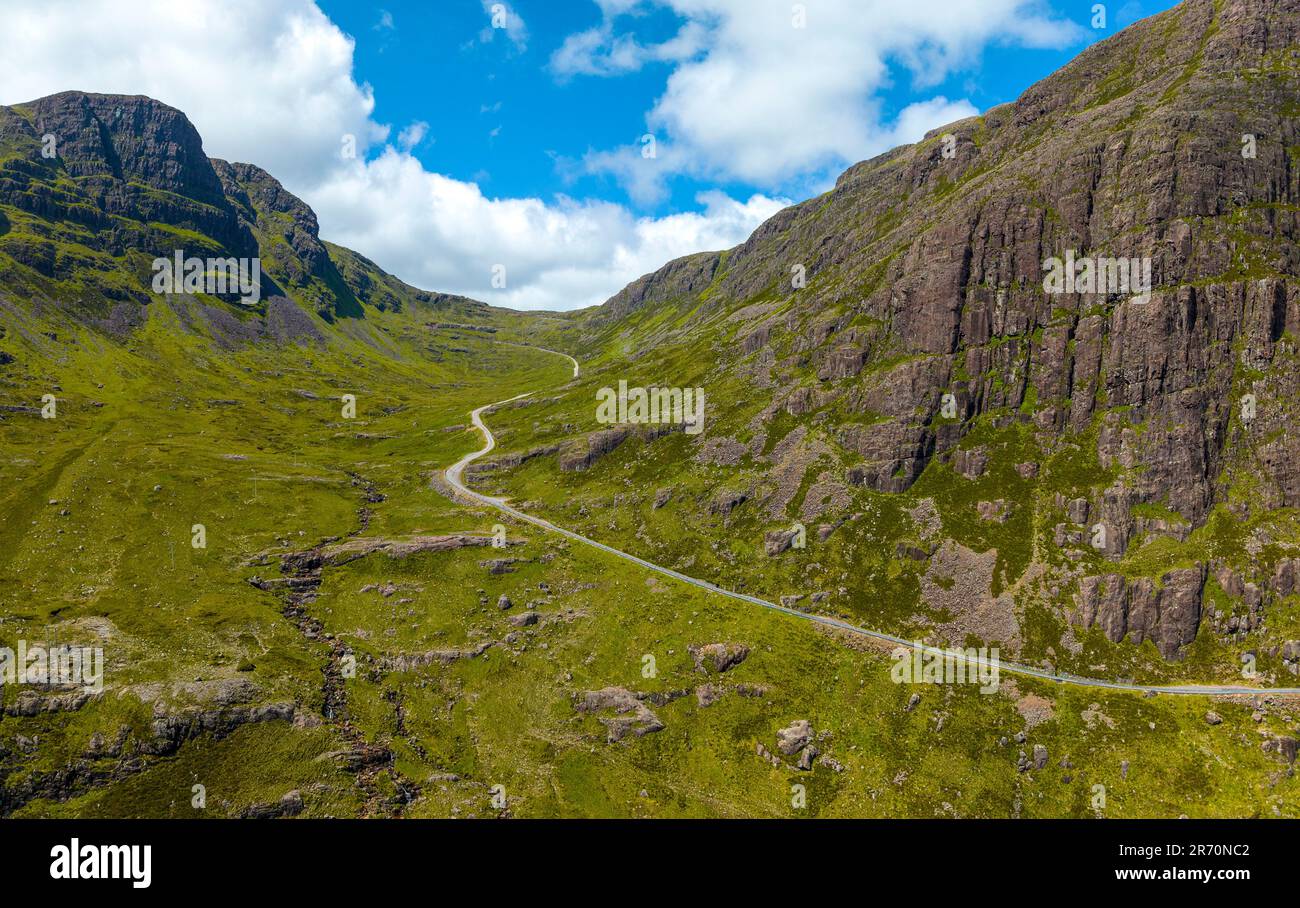 Bealach (pass)Viewpoint · 1.6 mi
Other information
Photo: Credit not shown in the picture search · Rights wording not checked; contact us if this picture should be removed