What is recorded here
Children’s Burial Ground in County Cork is a level subcircular pasture, shaped by a two-and-a-half-metre scarp and fence, with no markers left to identify the dead. The 1842 map named it plainly, and the earth still holds what the grass has swallowed.
Marked 'Children's Burial Ground' on OS 6-inch map (1842). In pasture. Subcircular area (32m N-S; 28m E-W) defined by scarp (H 2.5m) SE->SW and field fence SW->NW. Interior level; cut into hillside to N; raised on S side (H 2.5m) to compensate for hillslope. No grave markers noted.
The above description is derived from the published 'Archaeological Inventory of County Cork. Volume 1: West Cork' (Dublin: Stationery Office, 1992). In certain instances the entries have been revised and updated in the light of recent research.
Date of upload/revision: 14 January 2009
The monument record does not grant public access. Check the route and ask the landowner before entering private land.
- What survives
- Recorded monument
Places near here
 Man-made underground passage in Hollyhill (carbery W. (e.d) By.)Man-made underground passage · 286 yd
 Fulacht fia in Hollyhill (carbery W. (e.d) By.)Fulacht fia · 360 yd
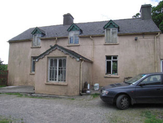 Aghadown Househouse · 759 yd
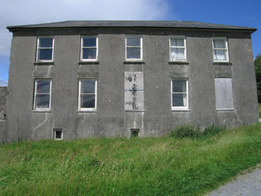 Westfield Housecountry house · 871 yd
 Monterey CypressMonterey Cypress · 1.1 mi
 Kilcoe CastleCastle · 2.0 mi
 Mannin BegIslet · 2.1 mi
 Mannin IslandIslet · 2.3 mi
 Bawn in Oldcourt (carbery West (e.d) By.)Bawn · 2.4 mi
 Wild Atlantic WayVisitor information · 2.6 mi
 KnockaphukeenMountain / peak · 3.7 mi
 Ballydehob Railway StationVisitor information · 3.7 mi