What is recorded here
Childrens Burial Gd. in County Limerick is a small rectangular green space caught between a farm laneway and a private driveway, marked on an 1840 map as a place where infants were laid to rest. It has no grand boundary or monument, only a slightly different shape on later maps and a faint shadow in satellite images. The children may have belonged to nearby farms, born and lost within weeks, buried quickly before fever or sorrow could be named. Their names are gone, but the ground still holds the shape of what was taken from it.
In small oblong-shaped green area situated between a farm laneway to SW and the driveway of a private dwelling to N. Depicted on the 1840 ed. OS 6-inch map as a rectangular-shaped area (approx. 17m WNW-ESE; 11m NNE-SSW) defined by a perforated line and named ‘Children’s Burial Gd.’. The depiction is slightly altered on the revised 1938 ed. OS 25-inch map where it is shown as a triangular-shaped area (approx. 18m NNE-SSW; 27m WNW-ESE) named ‘Infants’ Burial Ground’. Visible as a cropmark of a rectangular-shaped area long-axis ESE-WNW on Digital Globe orthophotos taken 2011-13 and Google Earth orthoimage taken 28/06/2006.
See attached Google Earth orthoimage 05/04/2006.
Compiled by: Alison McQueen and Vera Rahilly
Date of upload: 22 June 2020
The monument record does not grant public access. Check the route and ask the landowner before entering private land.
- What survives
- Recorded monument
Places near here
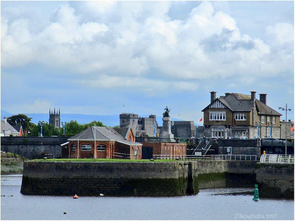 Enclosure in Coonagh EastEnclosure · 257 yd
 Not shownHouse, Bronze Age · 545 yd
 Coreen Castle (in ruins)Castle, unclassified · 569 yd
 Coonagh NatureNature reserve · 915 yd
 RoadRoad, road/trackway · 1.1 mi
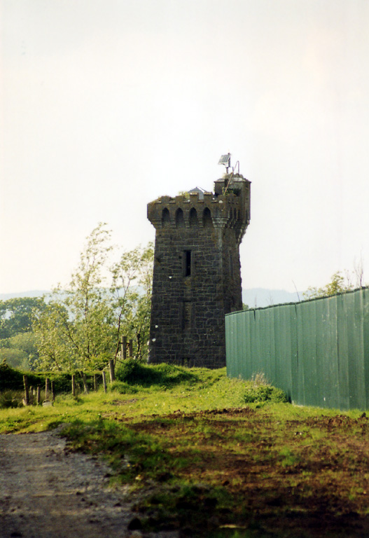 beaconbeacon · 1.1 mi
 Muckinish PointHeadland · 1.5 mi
 Cratloekeel CastleCastle · 2.0 mi
 St James's WellSpring · 2.1 mi
 Sailors HaggardMemorial · 2.3 mi
 Cratloe WoodsForest · 3.5 mi
 Ardnacrusha ToursMuseum · 4.2 mi