What is recorded here
Haphazard boulders, swallowed by grass at the west edge of a Galway hollow, mark a place where children may have slept before memory faded. The stones never aligned in a neat row because grief does not build tidy lines; it throws markers out and waits for rain to soften the edges. That is why the ground still feels occupied, not empty, long after the names disappeared.
On the site of an earthwork (GA006-126----). A series of haphazardly placed grassed-over boulders at W end of a hollow are locally believed to mark the site of a CBG.
The above description is derived from the published 'Archaeological Inventory of County Galway Vol. II - North Galway'. Compiled by Olive Alcock, Kathy de hÓra and Paul Gosling (Dublin: Stationery Office, 1999).
Date of upload: 05 August 2010
The monument record does not grant public access. Check the route and ask the landowner before entering private land.
- What survives
- Recorded monument
Places near here
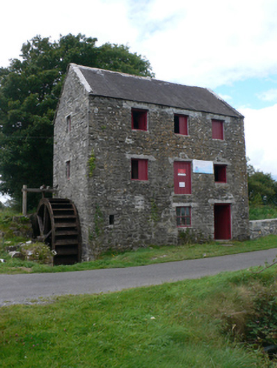 mill (water)mill (water) · 673 yd
 St. Patricks ShrineShrine · 681 yd
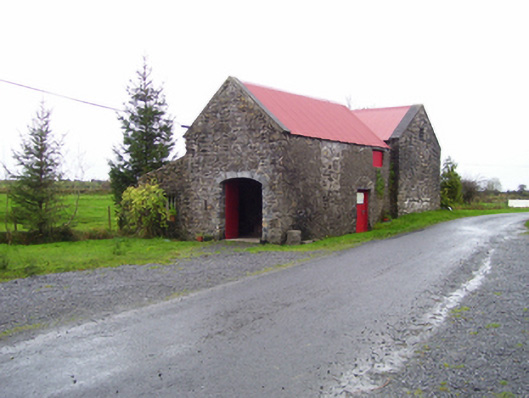 forge/smithyforge/smithy · 708 yd
 Castle (in ruins)Castle, unclassified · 1494 yd
 Enclosure in CastletogherEnclosure · 1534 yd
 Rook HillMountain / peak · 1.1 mi
 Site of Ballyglass CastleCastle, unclassified · 2.1 mi
 Site of Killomaine Grave YardArchaeological place · 4.6 mi
 Slieve DartMountain / peak · 6.1 mi
 HawthornHawthorn · 8.8 mi
 Sally IslandIslet · 12 mi
 Aughrane WoodsForest · 13 mi