What is recorded here
Kilgreana holds a tree-lined circular burial ground where tradition says abortive children were buried, transforming an older fort into a chamber for losses too small for ordinary history. The ground still breathes through pasture and boundary lines, keeping the namesless young close to the living rather than erased.
Possible ringfort (LI049-082----) reused as a children's burial ground (LI049-082001-), in reclaimed pasture, 40m E of townland boundary with Curraghroche. In 1840 the Ordnance Survey recorded that this was ‘a fort in which tradition says abortive children were buried' (OSNB Doon to Kilbreedy, 200). Monument visible as a tree lined circular-shaped area, intersected at NE, SW and NW by field boundaries on Digital Globe orthoimage taken between 2011-13 and on Google Earth orthoimages.
See attached Google Earth orthoimage.
Compiled by: Fiona Rooney
Date of upload: 5 October 2021
The monument record does not grant public access. Check the route and ask the landowner before entering private land.
- What survives
- Recorded monument
Places near here
 Partially hachuredEarthwork · 1098 yd
 LisnagreeveConcentric enclosure · 1245 yd
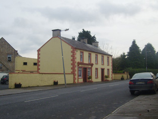 A.J. Ryanpublic house · 1302 yd
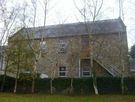 Canon Hennessy Community Centreschool · 1312 yd
 Duntryleague HillMountain / peak · 1667 yd
 Darby's Bed Walk LoopWalking route · 1716 yd
 Duntryleague - hachuredCastle, ringwork · 1.5 mi
 Site of Castle, Castle FieldCastle, unclassified · 2.4 mi
 Knockanebrack HillMountain / peak · 2.9 mi
 Carn (site of)Cairn, burial cairn · 3.2 mi
 Saint Patrick's WellSpring · 3.3 mi
 Assaroula WaterfallWaterfall · 3.8 mi