What is recorded here
Yes. An adult would have needed a ladder or a child a tiny tomb. The wall stands taller than the graves, bending the sky into a narrow box where small shadows stretch long at noon.
Adjoining an enclosure (GA105-076----) at NE. A rectangular area (22m NNW-SSE; 8m ENE-WSW) is delimited by the enclosure wall along its SW side and by field walls on the three other sides. Within it a number of set moss-covered stones indicate graves. Possibly a children's burial ground.
Compiled by: Galway Archaeological Survey, UCG
Date of upload: 4 February 2020
The monument record does not grant public access. Check the route and ask the landowner before entering private land.
- What survives
- Recorded monument
Places near here
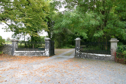 Coorheen Housedemesne walls/gates/railings · 437 yd
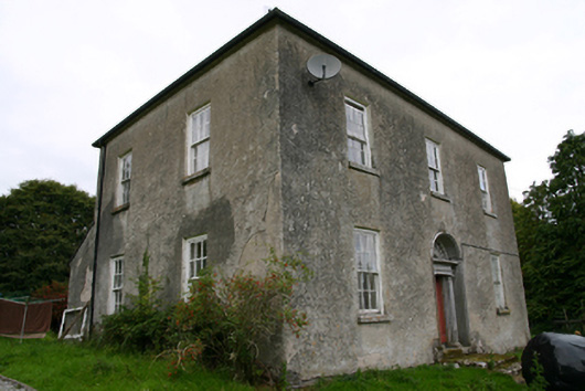 Glenvillecountry house · 563 yd
 Blake's IslandIslet · 1089 yd
 Enclosure in St LaurencesfieldsEnclosure · 1322 yd
 Site of Cloonoo CastleCastle, unclassified · 1614 yd
 Ash IslandIslet · 1.0 mi
 Ritual siteRitual site, holy tree/bush · 1.2 mi
 CastleCastle, tower house · 1.7 mi
 Long PointHeadland · 1.7 mi
 Turoe StoneHeritage attraction · 4.5 mi
 Scalpeen RockNamed rock · 4.9 mi
 Moyard WoodWood · 6.6 mi