What is recorded here
Inside the southeast quadrant of an ancient rath near Athenry, haphazard graves marked by set stones scatter across an unenclosed irregular area measuring 13.5 metres north-south and 13 metres east-west. The small size and clustered arrangement suggest children lay buried together, perhaps victims of fever or famine in a community that could not afford separate plots. The rath itself may have been a stronghold or sanctuary, but this corner belongs to loss, where adult hands dug quickly and grief drove them to mark each grave however they could.
In the SE quadrant of a rath (GA097-090002-). A number of haphazardly placed graves, indicated by set stones, are visible in an unenclosed irregular area (13.5m N-S; 13m E-W) in the interior of the rath.
Compiled by: Galway Archaeological Survey, UCG
Date of upload: 7 December 2017
The monument record does not grant public access. Check the route and ask the landowner before entering private land.
- What survives
- Recorded monument
Places near here
 MoteCastle, motte and bailey · 684 yd
 Enclosure in OldcastleEnclosure · 723 yd
 Badhbunmore Castle (in ruins)Castle, unclassified · 819 yd
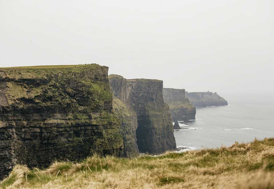 Curraghmore FortFairy fort / earthen ringfort · 997 yd
 Ratty's Bridgebridge · 1358 yd
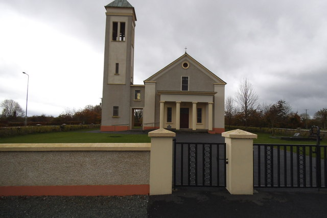 Catholic Church of the Immaculate Conceptionchurch/chapel · 1650 yd
 Moyard WoodWood · 1.9 mi
 Athenry AbbeyHeritage attraction · 4.1 mi
 Athenry CastleHeritage attraction · 4.1 mi
 Horse-chestnutHorse-chestnut · 4.4 mi
 First Battle of Athenrybattle · 4.7 mi
 Blake's IslandIslet · 5.8 mi