What is recorded here
On a rise in undulating landscape. Rectangular grass and scrub-covered area (int. dims 15.4m NE-SW; 13.7m NW-SE) defined by a collapsed drystone wall with some bushes, best preserved on the NE side with facing-stones (original Wth 0.9m; surviving H 0.65m). The interior has many grave-markers and there are local memories of burials occurring up to the end of the 19th century.
Compiled by: Michael Moore
Date of upload: 24 August 2010
The monument record does not grant public access. Check the route and ask the landowner before entering private land.
- What survives
- Recorded monument
Places near here
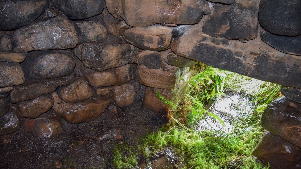 Sweathouse in ArdcolmanSweathouse · 333 yd
 Sweathouse in CarrowntarriffSweathouse · 457 yd
 RoadRoad, road/trackway · 1.5 mi
 CastleCastle, unclassified · 1.5 mi
 Inch IslandIsland · 1.8 mi
 Church (in Ruins)Church · 2.0 mi
 Killeglan CastleCastle, unclassified · 2.8 mi
 Sheep HillMountain / peak · 3.5 mi
 InchnagowerIslet · 3.6 mi
 LismoneyForest · 4.4 mi
 European ashEuropean ash · 6.7 mi
 Battle of Aughrim Interpretative CentreMuseum · 11 mi